
The place
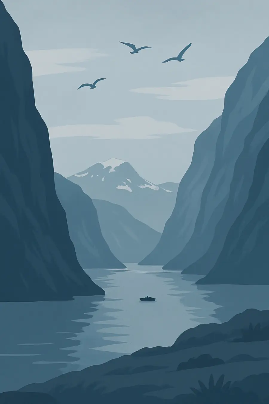
Tjongsfjorden cuts inland from the coastal islands toward the mountains, from its mouth at Sleipnesodden to the river Reppa at its head. It reaches a depth of 269 m. Like other Norwegian fjords, it was carved by glaciers during the ice ages, and steep, rocky slopes rise from the water to bare mountain tops, with birch and pine woods on the lower ground. The Helgeland coast is mild for its latitude because of the Norwegian Current, but weather is wet and changeable. In summer the sun barely sets; in midwinter daylight is short. You hear water running from the mountains and gulls over the fjord.
History
The Helgeland coast has been lived on for thousands of years, with rock carvings, burial mounds and farm sites showing long use by fishing and farming people. Norse and Sámi communities both used this landscape, and coastal Sámi presence in Helgeland is part of its history. For centuries people combined small farms on the fjord shores with fishing and seasonal work at the great cod fisheries further north. The village of Tjong lies on the north side of the fjord; its present church, a white wooden long church, was built in 1962 and serves north-eastern Rødøy. The coastal road along the fjord and the Reppa power station at its head are 20th century additions.
Why it matters for the living world
The fjord is part of the coastal ecosystem of Helgeland, where cold, deep fjord basins meet the open shelf. Fjords like this hold kelp forests, sea birds, seals and otters, and they are nursery areas for fish such as cod and herring. White-tailed eagles are common along this coast. The mountains above connect to wider upland areas toward Svartisen, Norway's second largest glacier area, and the rivers carry meltwater and nutrients into the fjord. Formal studies specific to this fjord are limited, so its full ecological picture is less documented than better known fjords.
People of the place
The communities around Tjongsfjorden are small, and the wider municipality of Rødøy has only around 1,200 inhabitants spread across islands and mainland. Livelihoods include farming, fishing, fish farming, hydropower and services, and many people commute or move away for work and education. The scenic Coastal Route, road 17 (Kystriksveien), runs along the north side and around the head of the fjord, linking the villages to the rest of Helgeland and bringing some tourism. The church at Tjong is a meeting point for the area. Local people's knowledge of the fjord, weather and fishing grounds remains important.
What it faces
As in much of coastal Norway, salmon farming is expanding along the Helgeland coast, raising concerns about sea lice, escaped fish and nutrient loading for wild salmon and fjord ecosystems. Hydropower regulation changes the flow of rivers into fjords. Climate change is warming coastal waters and shrinking glaciers in the nearby mountains, which will change freshwater input and fjord conditions. Depopulation is a social pressure, as young people leave small communities. Information on local threats specific to Tjongsfjorden is limited, and local planning under the municipality and county governs coastal zone use.
Sources
Written for Regenerative Voices from the sources above. Spotted something wrong? Tell us.