
The place
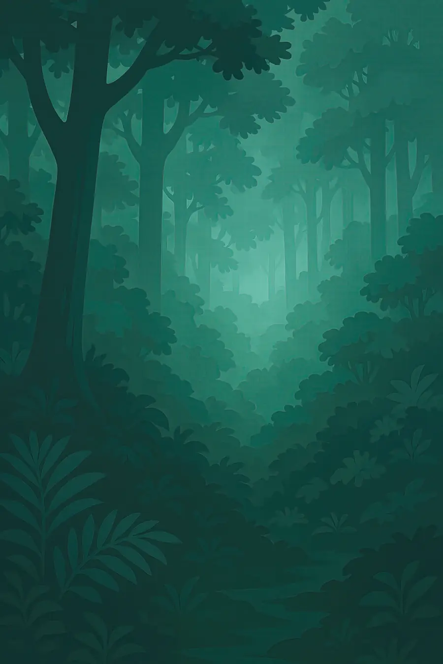
Bwindi covers steep, deeply folded hills between about 1,200 and 2,600 metres. Narrow ridges drop into valleys choked with ferns, vines and tall trees, and the slopes are so steep and tangled that the forest earned the name Impenetrable. Mist sits in the valleys in the morning and rain falls through much of the year. On the ground the light is green and dim, and the sounds are of water, birds, cicadas and, now and then, the chest-beat or bark of a gorilla. The forest ends abruptly at its boundary, where small terraced farms of tea, bananas and beans run up to the trees.
History
The forest is thought to be very old. During the dry, cold periods of the ice ages it is believed to have survived as a refuge while other forests shrank, which helps explain its richness. People have lived around it for a long time: the Batwa, a forest people, hunted and gathered inside it, and Bakiga and Bafumbira farmers settled the surrounding hills. Under British rule parts of the forest were declared a forest reserve in 1932. In 1991 it became a national park, and the Batwa were evicted without consent or compensation. Gorilla tourism began in 1993, and UNESCO listed the park in 1994.
Why it matters for the living world
Bwindi holds close to half of the world's mountain gorillas, according to UNESCO. It is also one of the richest forests in East Africa for trees, ferns, butterflies and birds, with many species found only in the Albertine Rift. Chimpanzees, L'Hoest's monkeys and forest elephants live here too. Because it spans a wide range of altitudes, the forest links lowland and montane plant communities, which matters as the climate shifts. The forest also protects the headwaters of several rivers that supply water to farms and villages around it, and its soils and old trees hold a large store of carbon.
People of the place
The Batwa are the forest's first people, and they lost access to their homeland when the park was created. Many now live in settlements on the park edge with little land, and they continue to seek recognition, land and a say in how the forest is managed. Bakiga farming communities, among the most densely settled rural people in Uganda, live right up to the boundary. A share of park entrance and gorilla permit fees goes to neighbouring parishes, and some community groups run lodges, guiding and craft businesses. Relations with the park are mixed: tourism brings income, but crop raiding by wildlife and limited access to the forest remain everyday problems.
What it faces
The forest is an island surrounded by dense farmland, so pressure on its edges is constant: illegal tree cutting, snares set for antelope that also catch gorillas, and demand for land. Close contact with tourists and people carries a risk of passing human diseases, including respiratory infections, to gorillas. Climate change may alter rainfall and the plants gorillas eat. The Uganda Wildlife Authority works with community rangers, teams of local volunteers who herd gorillas back from farms, buffer crops such as tea along the boundary, revenue sharing and rules on how close visitors may come. Batwa organisations and their allies continue to call for land rights and redress.
Sources
- UNESCO World Heritage Centre: Bwindi Impenetrable National Park
- IUCN World Heritage Outlook: Bwindi Impenetrable National Park
- Bwindi Mgahinga Conservation Area (University of Arizona, Indigenous Peoples Law and Policy)
- Bwindi Impenetrable National Park (Wikipedia)
Written for Regenerative Voices from the sources above. Spotted something wrong? Tell us.