
The place
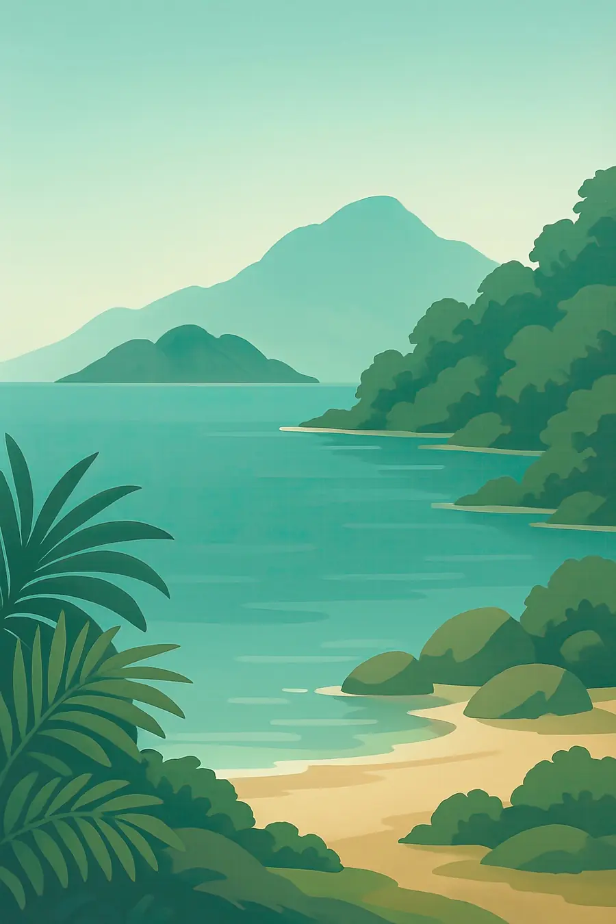
The lake fills the southern end of the East African Rift and stretches for more than 550 kilometres from north to south. Mountains and escarpments rise steeply along much of the shore, while elsewhere there are wide sandy beaches, rocky headlands and wooded islands. The water is clear and warm, and sudden winds can raise high waves. In the morning fishing boats and dugout canoes come in to the beaches, and at night the lights of lantern boats dot the water. Near Cape Maclear, granite boulders and small islands drop into blue water where shoals of brightly coloured fish move between the rocks.
History
The lake formed as the rift opened over the last few million years, and its level has risen and fallen sharply with changing climates. Bantu-speaking farming and fishing peoples have lived on its shores for well over a thousand years. In the nineteenth century the lake lay on a major route of the Swahili-Arab slave trade, which carried captives to the coast. David Livingstone reached it in 1859, and Scottish missionaries founded a mission at Cape Maclear in 1875. The British colony of Nyasaland followed. Malawi became independent in 1964. The national park was created in 1980, and its waters were listed by UNESCO in 1984.
Why it matters for the living world
Lake Malawi has more species of fish than any other lake on Earth, most of them cichlids found nowhere else. Many hundreds of species have evolved from a small number of ancestors, filling niches on rocky reefs, sandy bottoms and open water, which makes the lake one of the clearest examples of rapid evolution in the world. Each rocky reef may have its own forms. The lake also supplies most of the fish eaten in Malawi and supports fish eagles, otters and hippos. Its outflow through the Shire River feeds hydropower stations that generate much of Malawi's electricity, so the health of the lake affects the whole country.
People of the place
The shores are home to Chewa, Nyanja, Tonga, Yao, Tumbuka and other peoples in Malawi, as well as communities on the Mozambican and Tanzanian sides. Fishing is the main livelihood for many families, using canoes, nets and lanterns, and the small sardine-like fish usipa and utaka are dried on racks along the beaches. Several villages lie inside or surrounded by the national park, and their residents fish, farm and work in tourism. Local beach village committees take part in fisheries management. The lake is known in Malawi as Nyanja, a word for a large body of water, and it is part of daily life, faith and song.
What it faces
Overfishing has caused large declines in prized fish such as chambo, and fish catches have shifted towards small species. Forests in the catchment have been cleared for farmland and charcoal, sending soil into the lake and the rivers that feed it. Population growth along the shore increases pressure on water quality and fish stocks. Climate change affects rainfall, lake levels and water temperature. The international border on the lake is disputed between Malawi and Tanzania, and past oil exploration plans raised concern about the World Heritage area. Responses include co-management of fisheries with local committees, closed seasons, catchment restoration and work on alternative incomes.
Sources
- UNESCO World Heritage Centre: Lake Malawi National Park
- IUCN World Heritage Outlook: Lake Malawi National Park
- Lake Malawi National Park (national-parks.org)
Written for Regenerative Voices from the sources above. Spotted something wrong? Tell us.