
The place
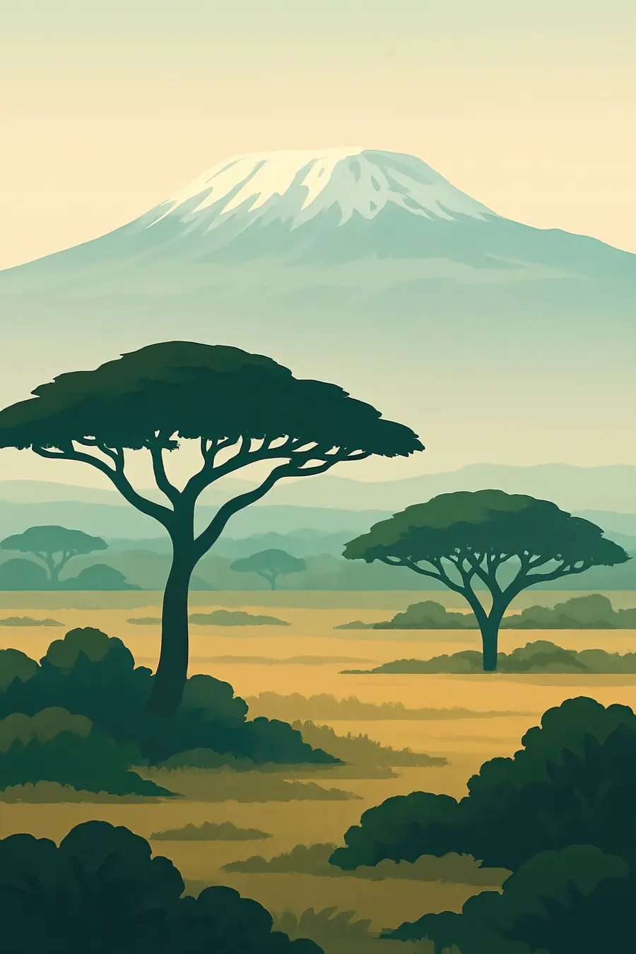
The mountain is made of three volcanic cones: Shira in the west, jagged Mawenzi in the east and Kibo in the middle, whose crater rim holds Uhuru Peak at 5,895 metres. Climbing it is like walking from the tropics towards the poles. Farms and coffee give way to montane rainforest, then to heath with giant groundsels and lobelias, then to an alpine desert of gravel and scree, and at the top to snow, ice cliffs and cold, thin air. Clouds often wrap the middle slopes while the summit stands clear above them. In the forest you hear colobus monkeys and running water; higher up there is mostly wind.
History
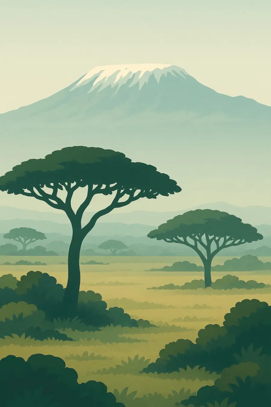
Kilimanjaro formed over the last few million years through repeated eruptions; Kibo is dormant and still has fumaroles in its crater. People have farmed its well-watered southern slopes for centuries. The Chagga built many small chiefdoms there and developed irrigation channels and home gardens. The German missionary Johannes Rebmann reported snow on the mountain to Europe in 1848 and was not believed at first. In 1889 Hans Meyer and Ludwig Purtscheller reached the summit with the Chagga guide Yohani Lauwo. The mountain came under German and then British colonial rule. The national park was created in 1973, and UNESCO listed it in 1987.
Why it matters for the living world
The mountain's forest belt is a water tower for the region. It catches moisture from the clouds and feeds springs and rivers that supply farms, towns and the Pangani River. Its vegetation zones support many plants and animals found only on East African mountains, and the forest is home to elephants, blue monkeys and black-and-white colobus. The glaciers on Kibo have shrunk dramatically: a study published in 2009 found that about 85 percent of the ice that covered the summit in 1912 had gone by 2007. The ice itself supplies little water, but its loss is a visible sign of a changing climate and of drier air above the mountain.
People of the place
The Chagga live on the southern and eastern slopes, where they have long grown bananas, coffee, beans and fodder in a layered home garden called kihamba, a form of agroforestry under tall shade trees. Maasai herders use the drier plains to the north and west. Today tens of thousands of people work in mountain tourism as guides, porters and cooks, most of them from local communities. Porters' groups have campaigned for fair pay, adequate food and gear, and limits on the loads they carry. Water from the mountain, managed through old furrows and modern pipes, is shared and sometimes disputed between highland and lowland users.
What it faces
Warming and changes in cloud cover and humidity are shrinking the glaciers, and scientists expect most of the summit ice to disappear within decades. The forest has lost ground to farming, logging and charcoal in the past, and fires have burned large areas of heath and forest on the upper slopes, including in 2020 and 2022. Rising numbers of climbers bring waste and erosion on popular routes. Population growth on the lower slopes increases demand for land and water. Responses include the extension of the park to cover the montane forest, tree planting by local groups, fire-fighting capacity and rules on porter welfare and waste.
Sources
- UNESCO World Heritage Centre: Kilimanjaro National Park
- Glacier loss on Kilimanjaro continues unabated (Thompson et al., PNAS 2009)
- Kilimanjaro Ice Fields Set to Disappear (Live Science)
- East Africa is losing its glaciers at astonishing speed, all on Kilimanjaro retreating (Down To Earth)
Written for Regenerative Voices from the sources above. Spotted something wrong? Tell us.