
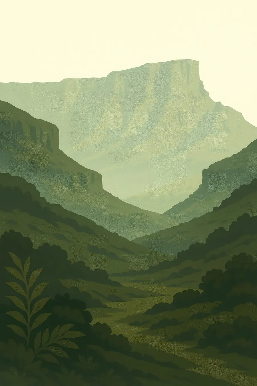
The place
The mountains rise as a wall of dark basalt cliffs above sandstone foothills, with the highest summits on the Lesotho side above 3,400 metres. In isiZulu the range is called uKhahlamba, the barrier of spears. Below the cliffs, rivers have carved deep valleys and caves into the pale sandstone. Summer brings afternoon thunderstorms and green slopes; winter brings frost, snow on the peaks and dry, tawny grass. On the high plateau above the escarpment, wetlands and bogs collect the rain. The sounds are of wind on the grass, running streams, baboons barking from the cliffs and the call of the bald ibis.
History
The basalt that caps the range poured out about 180 million years ago, as the supercontinent Gondwana began to break up, and erosion has since pushed the escarpment back to where it stands now. San hunter-gatherers lived in these valleys for thousands of years and painted the rock shelters with eland, people, rain animals and scenes of trance and ritual. Paintings continued into the nineteenth century, when Zulu and Sotho states, Boer settlers and British colonists pressed into the area and the San were hunted and pushed out. The South African part was listed by UNESCO in 2000; Sehlabathebe National Park in Lesotho was added in 2013.
Why it matters for the living world
The park protects some of the most important grassland in southern Africa, with a large number of plants found nowhere else. It is a stronghold for the bearded vulture and the Cape vulture, and the grasslands and wetlands support oribi, eland, grey rhebok and rare frogs. The high bogs and grasslands act as a water tower: rain and snow soaked up here feed the Thukela, Orange (Senqu) and other rivers, and water from these mountains is piped to Gauteng, South Africa's most populous province. Healthy grass cover also holds soil and carbon in place, so how the land is burned and grazed has effects far downstream.
People of the place
The San who painted the shelters are gone from the mountains as a living community, but their descendants and other San and Khoe groups take part in efforts to interpret and care for the rock art. On the South African side, Zulu communities live around the park, and some land inside its boundaries has been the subject of land claims. In Lesotho, Basotho herders graze cattle, sheep and goats on the high pastures and live in villages close to Sehlabathebe; wool and mohair are important incomes. Many people work in tourism, as guides, porters and lodge staff. Shared management between the two countries is coordinated through a transfrontier conservation programme.
What it faces
Changes in fire and grazing are the main concerns: too much burning or overgrazing strips the grass and causes erosion, while too little allows shrubs to spread. Invasive plants such as wattle and bramble move up the valleys. Livestock theft across the border and poaching affect both people and wildlife. Climate change is expected to warm the high plateau and shift rainfall, which could shrink wetlands and push mountain species uphill. The rock art fades with weather and is damaged by careless visitors. Park agencies on both sides run fire management, invasive plant clearing, community rangers and rock art monitoring programmes.
Sources
- UNESCO World Heritage Centre: Maloti-Drakensberg Park
- uKhahlamba Drakensberg rock paintings (San) (Smarthistory)
- Maloti-Drakensberg Transboundary Park of Lesotho and South Africa (WorldAtlas)
- UNESCO World Heritage Committee decision on the Maloti-Drakensberg extension
Written for Regenerative Voices from the sources above. Spotted something wrong? Tell us.