
The place
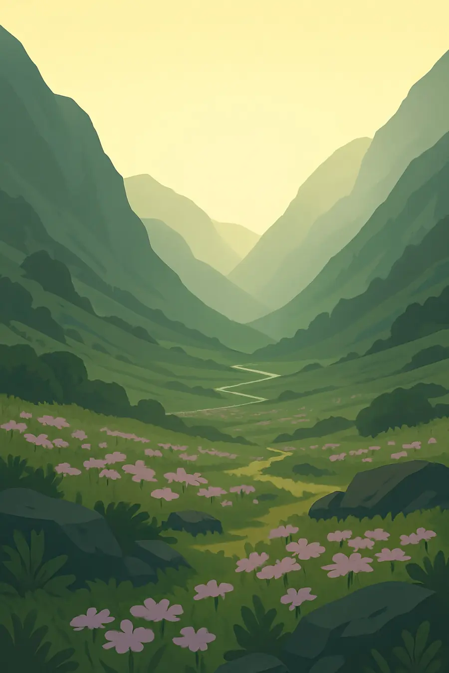
The state climbs from forested foothills and river valleys through terraced villages to high ridges and snow peaks over 7,000 metres, with Nanda Devi, at 7,816 metres, the highest. Glaciers such as Gangotri feed the Bhagirathi, a source stream of the Ganges, and the Yamuna rises at Yamunotri. Forests change with height, from sal and chir pine to oak, rhododendron and deodar, then birch and alpine meadows called bugyals. The monsoon from June to September brings heavy rain and landslides; winters are cold with snow on the heights. In the valleys you hear rivers roaring through gorges, temple bells and the calls of shepherds.
History
The Himalaya here rose as the Indian plate pushed into Asia, and it is still rising and shaking. For millennia the region has been a sacred landscape for Hindus, with the four shrines of the Char Dham, Badrinath, Kedarnath, Gangotri and Yamunotri, at the sources of rivers. The Katyuri and later Chand and Garhwal kingdoms ruled the hills before Gorkha conquest and then British rule from 1815. The British took over forests for timber, cutting villagers' access. In the 1970s, village women in the Chipko movement hugged trees to stop logging, a landmark of grassroots environmentalism. Uttarakhand became a separate state in 2000.
Why it matters for the living world
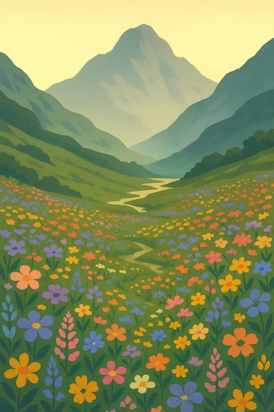
The state's forests and meadows hold snow leopards, Himalayan musk deer, Himalayan tahr, bharal, black bears and the Himalayan monal. The Valley of Flowers is known for its alpine meadows with hundreds of flowering plant species, and Nanda Devi National Park is one of the least disturbed high mountain areas of the Himalaya. Oak forests protect springs and soil and support village life. Above all, the glaciers, snowfields and forests of Uttarakhand feed the Ganges and Yamuna, rivers on which hundreds of millions of people downstream depend for water, farming and faith.
People of the place
Garhwali and Kumaoni people make up most of the population, farming terraced fields, keeping cattle and goats and gathering fodder and fuel from forests that many villages manage through community forest councils called van panchayats. Bhotiya communities in the high valleys once traded with Tibet and still move seasonally with their herds; Van Gujjars are forest-dwelling buffalo herders in the foothills. Women carry much of the farm and forest work and led the Chipko movement. Pilgrimage and tourism are major sources of income. Many young people migrate to the plains for work, leaving some villages almost empty.
What it faces
Dams, roads and construction on steep, unstable slopes have increased the risk of disasters. Floods in 2013 killed thousands of people around Kedarnath, and in 2021 a rock and ice avalanche in Chamoli destroyed hydropower projects and killed around two hundred people. In 2023 the town of Joshimath began to sink. Glaciers are retreating, forest fires in chir pine forests are worsening, and the widening of pilgrimage roads has cut into hillsides and forests. Migration has left terraces abandoned. Local groups, scientists and courts have pushed for stricter controls on hydropower and road building, and many villages are restoring springs and oak forests.
Sources
- Nanda Devi and Valley of Flowers National Parks (Wikipedia)
- IUCN World Heritage Outlook: Nanda Devi and Valley of Flowers National Parks
- Chipko movement and the Uttarakhand floods (SheThePeople)
Written for Regenerative Voices from the sources above. Spotted something wrong? Tell us.