
The place
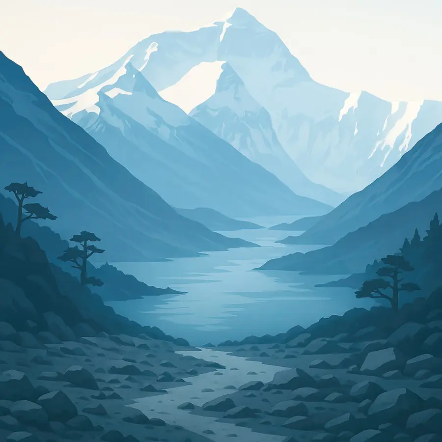
At 8,848.86 metres, as measured jointly by Nepal and China in 2020, Everest is the highest point on Earth. On the Nepal side, trails climb through the Khumbu valley past villages, monasteries and yak pastures to the moraine and the broken ice of the Khumbu Glacier, where the south base camp sits at about 5,300 metres. On the Tibetan side, the Rongbuk valley opens onto the north face. The air is thin, cold and dry, and the sky is a deep blue. Wind tears snow from the summit in a long plume. At night the glacier creaks and cracks, and by day you hear prayer flags snapping and yak bells.
History
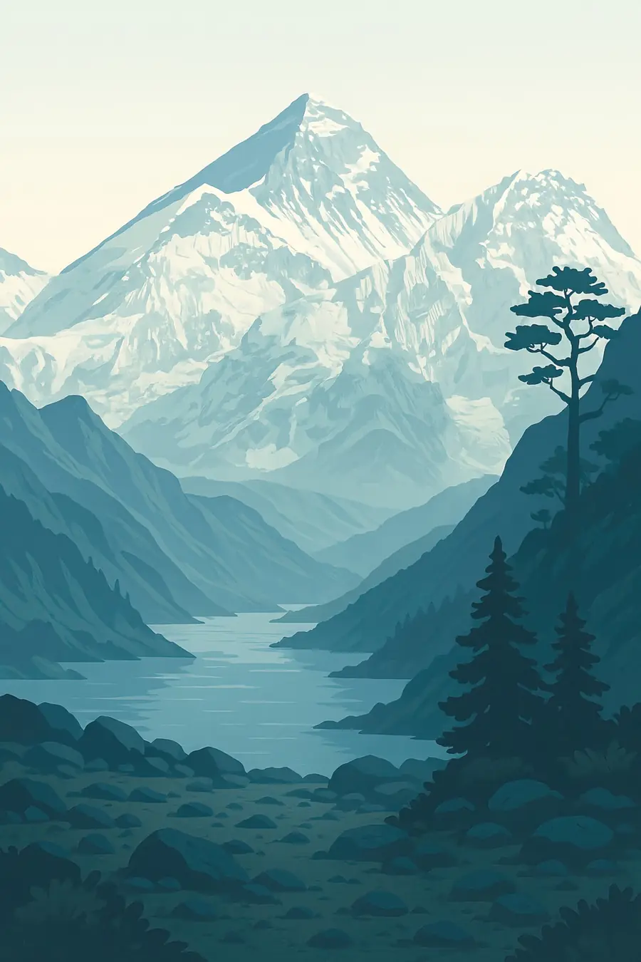
The rocks of Everest were once sea floor: limestone near the summit holds the fossils of marine creatures, lifted as India collided with Asia. Sherpa people migrated from eastern Tibet into the Khumbu about five centuries ago, bringing Tibetan Buddhism and founding villages and monasteries. Tibetans call the mountain Chomolungma or Qomolangma; the Nepali name Sagarmatha was adopted in the twentieth century. British surveyors named it after George Everest in the 1850s. Tenzing Norgay and Edmund Hillary reached the summit in 1953. Sagarmatha National Park was created in 1976 and listed by UNESCO in 1979; the Qomolangma reserve was established in 1988.
Why it matters for the living world
The region spans forests of rhododendron, birch and fir, alpine meadows and glaciers. It is home to snow leopards, red pandas, Himalayan tahr, musk deer and the Himalayan monal, Nepal's national bird. The glaciers and snowfields of the Everest massif feed rivers such as the Dudh Koshi in Nepal, which flows to the Ganges, and their seasonal melt matters for farms and towns far downstream. Glaciers here are thinning and retreating, and glacial lakes such as Imja Tsho have grown. Scientists study the region closely as an indicator of how warming affects the high mountains of Asia.
People of the place
The Khumbu is the home of the Sherpa, who farm potatoes, herd yaks and run lodges and teahouses, and whose monasteries such as Tengboche are at the heart of community life. Sherpa and other Nepali mountain workers carry loads, fix ropes and guide climbers, and they bear most of the risk on the mountain: in 2014 an avalanche in the Khumbu Icefall killed sixteen Nepali workers. On the Tibetan side, Tibetan herders and farmers live in villages in the reserve, and some work in tourism. The Sagarmatha Pollution Control Committee, a local body, manages waste and the route through the icefall.
What it faces
Warming is shrinking glaciers, raising the risk of floods from glacial lakes and changing water supply. Crowds of climbers and trekkers bring waste, human sewage and pressure on fragile slopes, and queues near the summit have caused deaths. Demand for fuelwood and lodge building have thinned forests, though bans on cutting and the switch to hydropower and gas have helped. The draining of Imja Tsho in 2016 lowered one flood risk. Nepal now requires climbers to bring back waste, and has introduced higher permit fees and new rules. China limits numbers on the north side. Local communities increasingly lead clean-up and monitoring work.
Sources
- UNESCO World Heritage Centre: Sagarmatha National Park
- About us (Sagarmatha National Park, Government of Nepal)
- Mount Everest climber surge, climate change and tourism (Mongabay India, 2024)
- Qomolangma National Nature Preserve (Wikipedia)
Written for Regenerative Voices from the sources above. Spotted something wrong? Tell us.