

The place
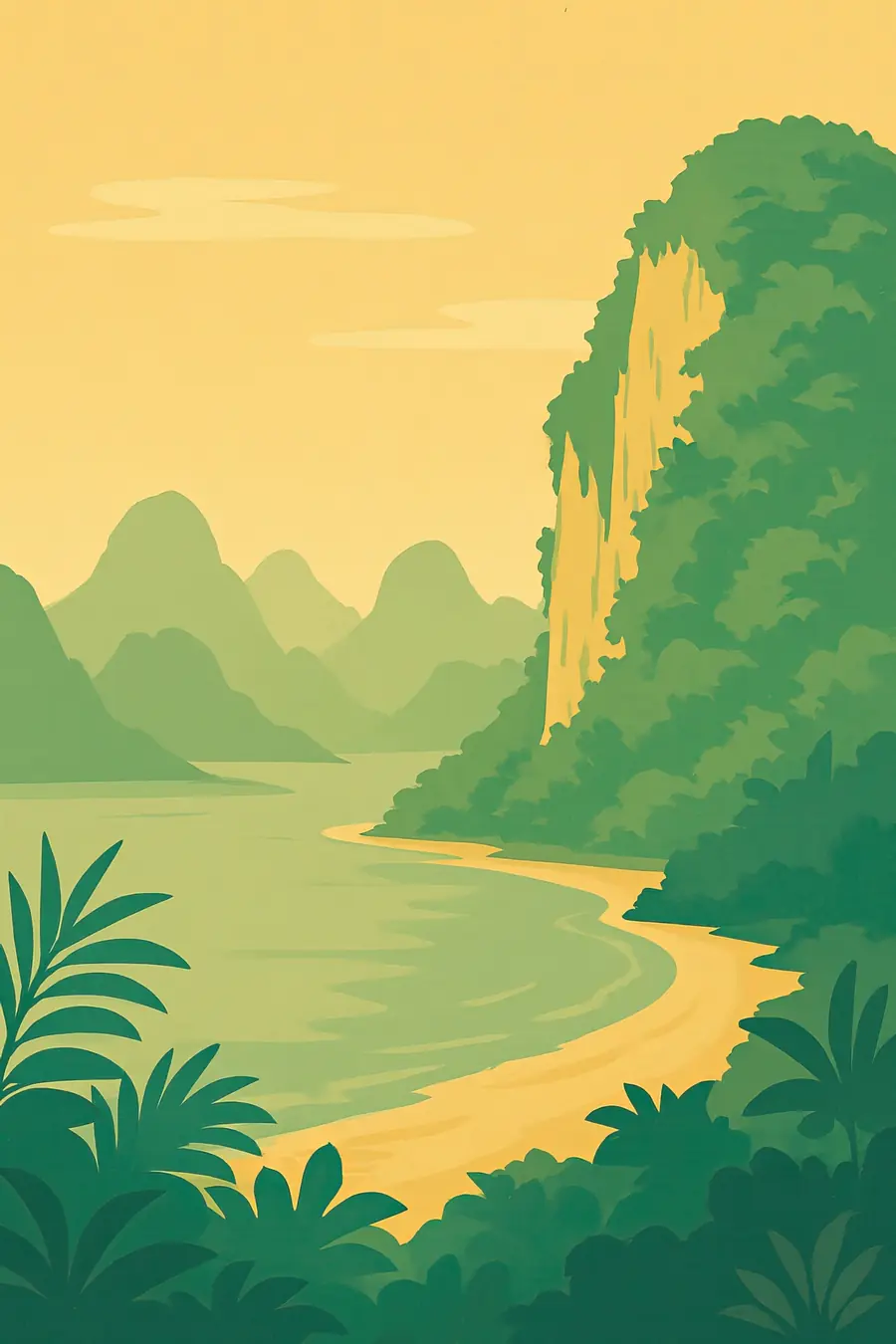
Dozens of limestone islands and pillars rise sheer from the calm, often milky green water of the bay, some no bigger than a house, others large and forested. Sea caves and tunnels lead into hidden lagoons called hong, open to the sky. Along the northern shore wide mangrove forests line muddy creeks and tidal channels. The climate is hot and humid, with a dry season from about November to April and monsoon rains the rest of the year. At low tide mudflats appear and mudskippers hop across them. You hear the engines of longtail boats, the calls of birds and macaques in the mangroves, and water dripping in caves.
History
The limestone formed from ancient reefs and was later carved by rain and sea into towers. After the last ice age, rising seas flooded the valleys between them to form the bay. Prehistoric people left rock paintings of animals and humans on cliffs such as Khao Khian. For centuries the bay was used by fishing communities, traders and sea peoples moving along the Andaman coast. Tin mining shaped the province in the nineteenth and twentieth centuries. In 1974 the island Khao Phing Kan appeared in a James Bond film and became famous. The national park was established in 1981, and the bay was recognised as a wetland of international importance in 2002.
Why it matters for the living world
The mangroves of Phang Nga Bay are among the largest remaining in Thailand. They protect the coast from storms, trap sediment, store carbon and act as nurseries for fish, crabs and shrimp that support local fishing. Many species of mangrove trees grow here, along with seagrass beds and coral patches around the islands. The limestone islands have their own plants, adapted to thin soils, and caves hold bats and swiftlets. The bay supports dusky langurs, macaques, otters, monitor lizards and many waterbirds, and is part of a wider network of protected areas on the Andaman coast.
People of the place
Most communities around the bay are Thai Muslim fishing families. Koh Panyi, a village built on stilts against a limestone island, is one of the best known; its people fish and run restaurants and shops for visitors. Small-scale fishers use traps, nets and longtail boats, and some raise fish and shellfish. The Moken and Urak Lawoi, Indigenous sea peoples of the Andaman coast, live elsewhere in Phang Nga province and on nearby islands, and have long moved through these waters. The 2004 Indian Ocean tsunami hit the province's coast hard. Many residents work in tourism, as boat drivers, guides and kayak operators.
What it faces
Tourism is the largest pressure: hundreds of boats a day visit sites such as Khao Phing Kan, bringing fuel pollution, waste, noise and damage to caves. Past clearing of mangroves for shrimp farms, tin mining and charcoal has reduced the forest. Sediment from land and coastal development clouds the water. Overfishing and destructive gear affect fish stocks. Climate change brings warmer seas, coral bleaching and stronger storms. The national park has limited access to some sites, restricted boat access around the rock pillar Ko Tapu, and works with communities on mangrove replanting and community-based tourism.
Sources
- Ao Phang Nga National Park (Wikipedia)
- Ramsar Information Sheet: Ao Phang Nga Marine National Park
- Ao Phang-Nga National Park, Thailand's most famous marine protected area (ASEAN Clearing House Mechanism)
- Phang Nga Bay (EBSCO Research Starters)
Written for Regenerative Voices from the sources above. Spotted something wrong? Tell us.