
The place
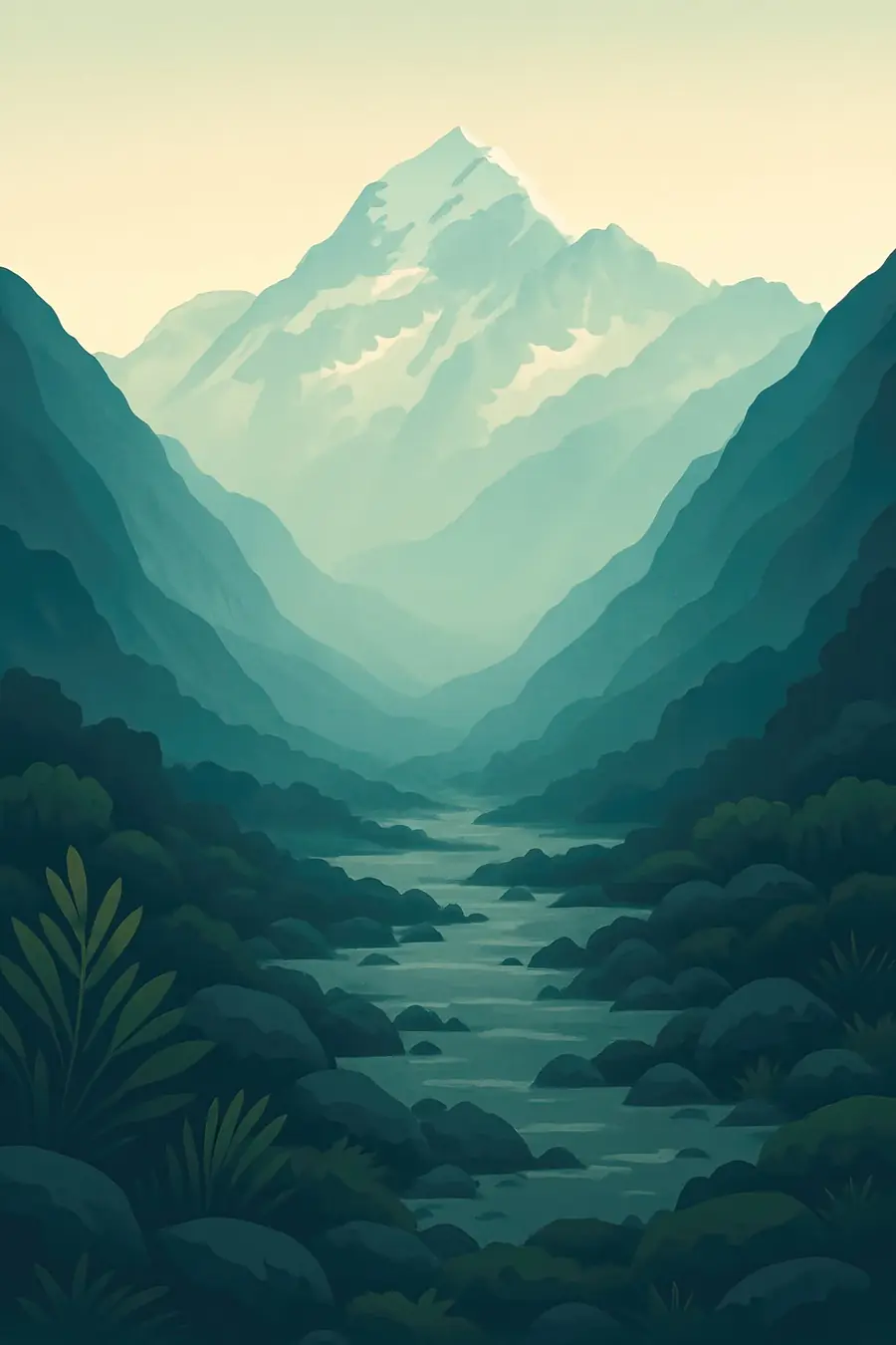
The Southern Alps are rising along the Alpine Fault, where the Pacific and Australian plates meet, and erosion wears them down almost as fast. Aoraki rises to about 3,724 m; a large rock avalanche in 1991 lowered the summit. Glaciers fill the valleys, among them the Tasman, still New Zealand's longest at about 23.5 km. Grey meltwater lakes have formed at the ends of the retreating glaciers. Snow-covered ridges tower over braided rivers and tussock grassland. Weather is extreme and changeable, with strong north-west winds and heavy snowfall. At night, the clear skies of the Mackenzie basin are dark enough for very fine stargazing.
History
For Ngāi Tahu, Aoraki is their most sacred ancestor. In their tradition, Aoraki and his brothers were sons of Rakinui, the Sky Father; their canoe ran aground and froze, and they became the peaks of the Southern Alps, with the canoe becoming the South Island, Te Waka o Aoraki. European explorers named the mountain after James Cook in 1851. The first ascent was made on Christmas Day 1894 by Tom Fyfe, Jack Clarke and George Graham. The Hermitage hotel brought tourists from the 1880s, and the national park was formed in 1953. Under the 1998 Ngāi Tahu settlement, title to Aoraki was returned to Ngāi Tahu, who gifted it back to the nation.
Why it matters for the living world
The park's alpine habitats hold many plants found only in New Zealand, including the large Mount Cook buttercup, mountain daisies, speargrasses and tussocks. Kea, the world's only alpine parrot, live here, as do the tiny rock wren and other alpine birds. Glaciers and snowfields store water that feeds the Tasman and Hooker rivers and, through the lakes of the Mackenzie basin, the Waitaki hydropower scheme. The retreating glaciers are a clear record of climate change: the Tasman Glacier has lost several kilometres since the 1990s, and Tasman Lake, absent in 1973, had grown to about 7 km long by 2008.
People of the place
Ngāi Tahu are tangata whenua and hold the deepest relationship with Aoraki, and their settlement led to the dual name Aoraki / Mount Cook. They are represented in the park's management and in decisions about how the mountain is treated, for example asking climbers not to stand on the very summit. The small village of Aoraki / Mount Cook serves visitors, with tourism, guiding, conservation and alpine rescue work as the main jobs. Climbers, skiers and walkers from around the world come to the park, and the local high-country runs of the Mackenzie basin carry their own farming history.
What it faces
Climate change is shrinking the glaciers fast, and the retreat leaves unstable moraine walls and slopes, raising the risk of rockfall and floods from glacial lakes. Some classic climbing routes have become more dangerous or impassable. Introduced Himalayan tahr, chamois, rabbits and wilding conifers damage alpine plants and tussock lands, and the Department of Conservation runs tahr and pest control. Predators such as stoats threaten rock wren and other birds. Visitor numbers are high on trails such as the Hooker Valley track, putting pressure on facilities and fragile ground. Light pollution is controlled to protect the dark sky reserve.
Sources
- Aoraki / Mount Cook National Park – Wikipedia
- Tasman Glacier – Wikipedia
- Walking and cycling tracks in Aoraki/Mount Cook – Department of Conservation
- Ngāi Tahu Claims Settlement Act 1998, Schedule 14 – NZLII
Written for Regenerative Voices from the sources above. Spotted something wrong? Tell us.