
The place
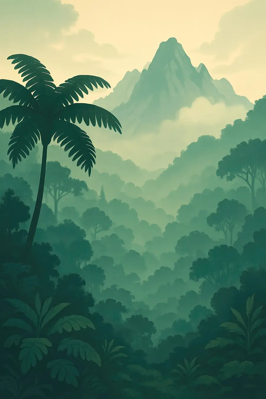
A chain of steep mountain ranges runs along the spine of New Guinea, formed by the collision of the Australian and Pacific plates. Mount Wilhelm, the highest peak in Papua New Guinea, rises to over 4,500 m. Between the ranges lie broad, fertile valleys at about 1,500 to 2,000 m, such as the Wahgi, with grasslands, gardens and scattered houses. Below, dense rainforest covers ridges and lowlands down to large rivers such as the Sepik and Fly. The climate is wet and tropical, cooler in the highlands, with mist, frequent rain and cold nights on the high slopes.
History
People reached New Guinea at least 50,000 years ago, when it was joined to Australia. In the highlands, at Kuk Swamp near Mount Hagen, archaeologists have found evidence that people drained wetlands and cultivated plants such as taro and bananas from about 7,000 to 10,000 years ago, making New Guinea one of the world's independent centres of agriculture. Highland societies were unknown to the outside world until Australian gold prospectors and patrols entered the valleys in the 1930s, finding around a million people. Papua New Guinea was administered by Australia and became independent in 1975.
Why it matters for the living world
New Guinea covers about half a percent of the Earth's land but holds an estimated 5 to 8 percent of its species, and over half of its known species occur nowhere else. Its forests are the third largest tract of primary rainforest on Earth after the Amazon and Congo, and store large amounts of carbon. The forests are home to birds of paradise, tree kangaroos, cassowaries, cuscuses and many orchids, frogs and insects, with new species found regularly. High mountain grasslands, moss forests and wetlands add further diversity. The rivers carry rainfall from the mountains to the sea.
People of the place
Papua New Guinea is home to more than 800 languages and many distinct peoples, from the Huli, Enga and Melpa of the highlands to forest and river communities in the lowlands. About 97 percent of the land is under customary ownership by clans, and it can only be transferred by voluntary agreement. Most people live by gardening sweet potato, taro and other crops, keeping pigs and growing coffee for cash. Exchange, kinship and land are closely tied together. Community conservation areas, such as YUS on the Huon Peninsula, show how clans can protect forests and species like the Matschie's tree kangaroo while meeting local needs.
What it faces
Logging, much of it for export of raw logs, has degraded large areas of lowland forest, often with weak enforcement and poor benefits for landowners. Special agricultural and business leases have been used to take customary land for logging and plantations, prompting a government inquiry. Oil palm, mining and infrastructure add pressure; mine waste from Ok Tedi, for example, has damaged the Fly River. Population growth and climate change affect highland gardens and frost risk. Papua New Guinea has pledged to cut deforestation and protect 30 percent of land and sea, and new international forest finance aims to reward countries and communities for keeping forests standing.
Sources
- New Guinea's forests: a global test of climate and biodiversity resolve – Devpolicy Blog
- Kuk Agricultural and Archaeological Site, Papua New Guinea – WorldAtlas
- Papua New Guinea Timber Legality Risk Dashboard – Forest Trends
- Taking on the logging pirates in Papua New Guinea – The Ecologist
Written for Regenerative Voices from the sources above. Spotted something wrong? Tell us.