
The place
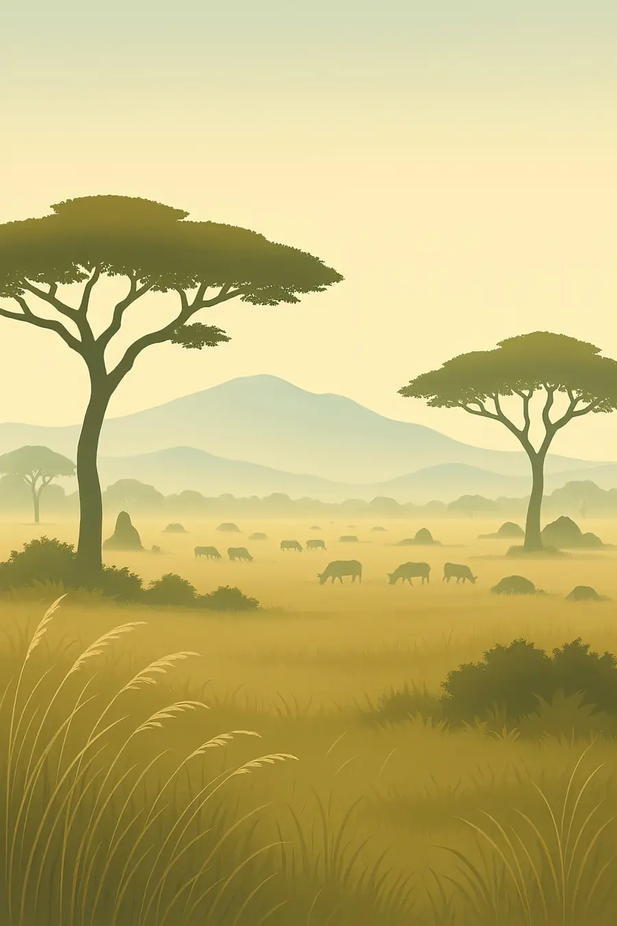
The southern Serengeti is a plain of short grass on volcanic ash, so flat and open that the horizon seems endless; the name comes from the Maasai word for such endless plains. To the north and west the land turns into wooded savanna, rolling hills and river valleys. Granite outcrops called kopjes rise from the grass and give shelter to lions, hyraxes and snakes. The rains come in two seasons, and the herds follow the new grass. In the wet season the southern plains are green and dotted with calving wildebeest; in the dry season they turn golden and empty, and the herds move north to the Mara River.
History
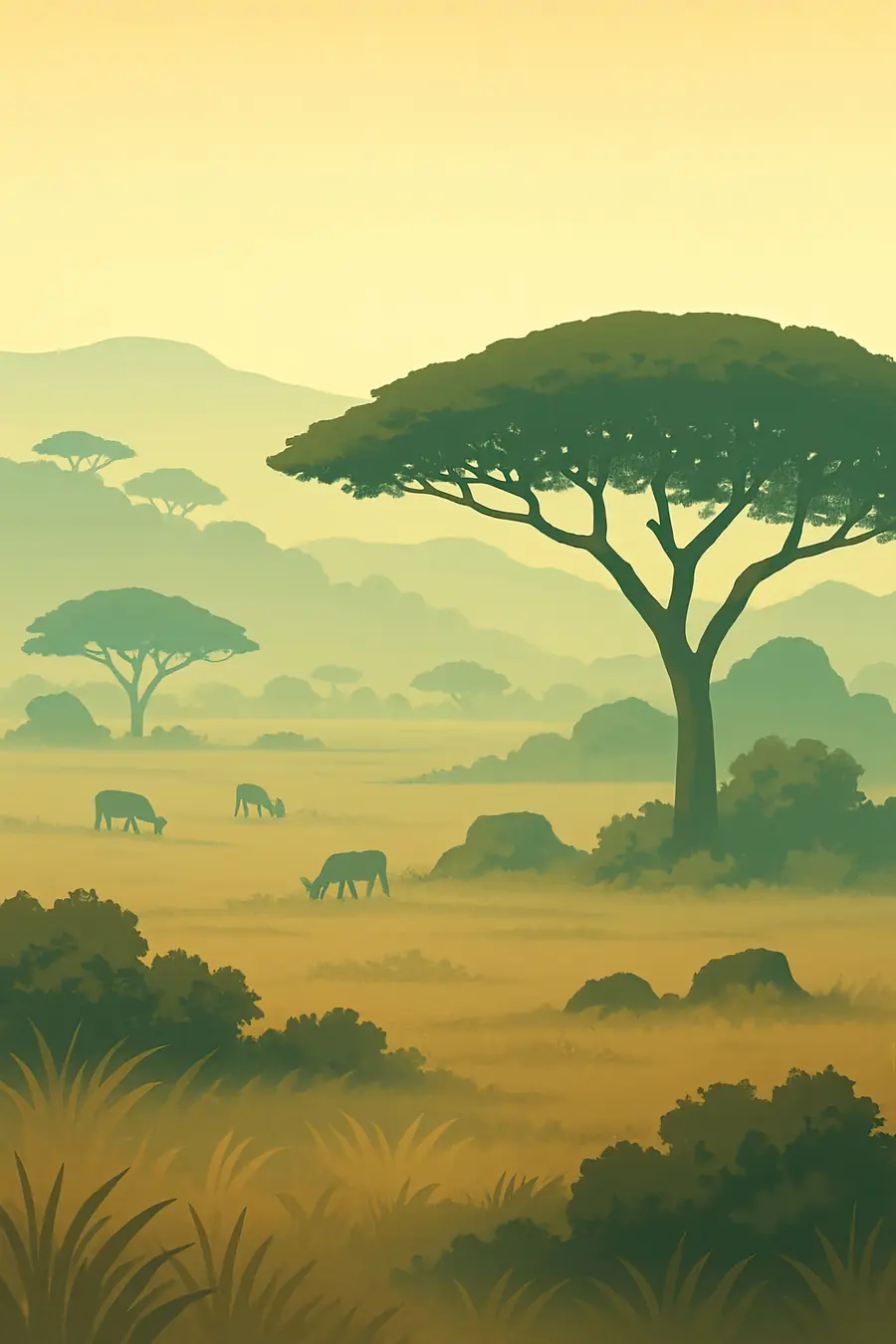
The ash that feeds the southern grasslands came from the volcanoes of the Ngorongoro highlands. Nearby Olduvai Gorge holds fossils and stone tools reaching back almost two million years, and footprints of early humans have been found at Laetoli. Hunter-gatherers lived here for millennia; Maasai herders moved into the area in the last few centuries. Under British rule a game reserve was declared, and in 1951 the national park was created. In 1959 the Maasai were moved out of the park and into the Ngorongoro Conservation Area. UNESCO listed the park in 1981. These removals remain a painful part of the park's history.
Why it matters for the living world
The Serengeti-Mara ecosystem supports one of the largest land migrations on Earth: more than a million wildebeest, along with hundreds of thousands of zebra and gazelles, move in a yearly circuit following rain and grass. Their grazing, dung and deaths feed the soil, the predators and the rivers. The ecosystem has one of the largest populations of lions in Africa, along with cheetahs, hyenas, leopards and wild dogs. Studies here have shown how wildlife recovery after disease control and fire changes led to more grass, fewer fires and more carbon stored in the soil, a reminder that big herds help keep the system in balance.
People of the place
The Maasai named the plains Siringet, the place where the land runs on forever. They are still the main people in Ngorongoro and Loliondo to the east and in the Mara in Kenya, while Sukuma, Kuria, Ikoma and other farming and herding peoples live on the western and northern edges. Many work in tourism and conservation. Communities around the park take part in wildlife management areas and conservancies, especially on the Kenyan side, where Maasai landowners lease land for wildlife. Tension remains over land, grazing and the evictions of Maasai from Loliondo in 2022, which many human rights groups criticised.
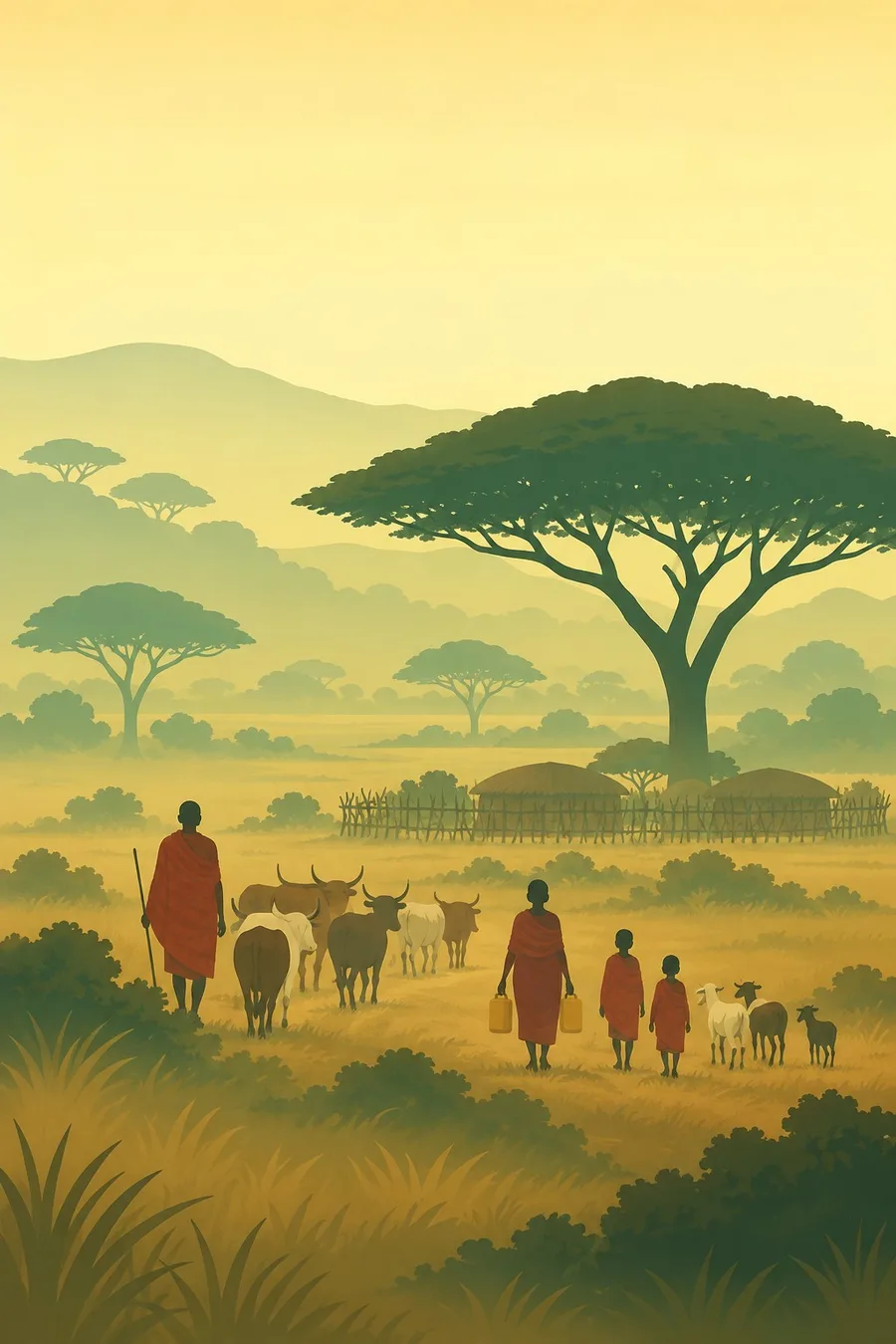
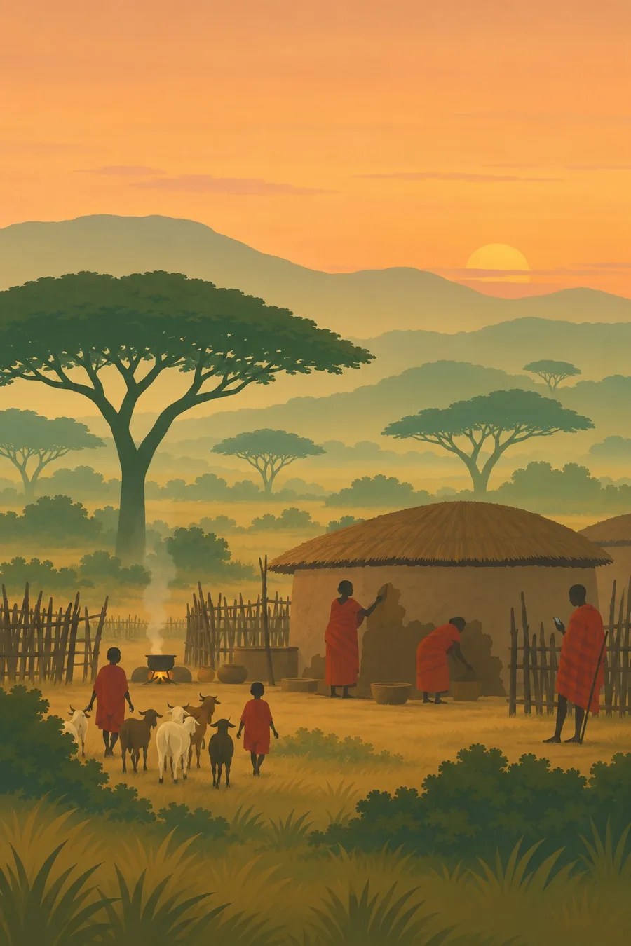
Illustrations made with AI in the style of the plates. They show life in general, not particular people or rites.
Seasons, celebrations and the sacred
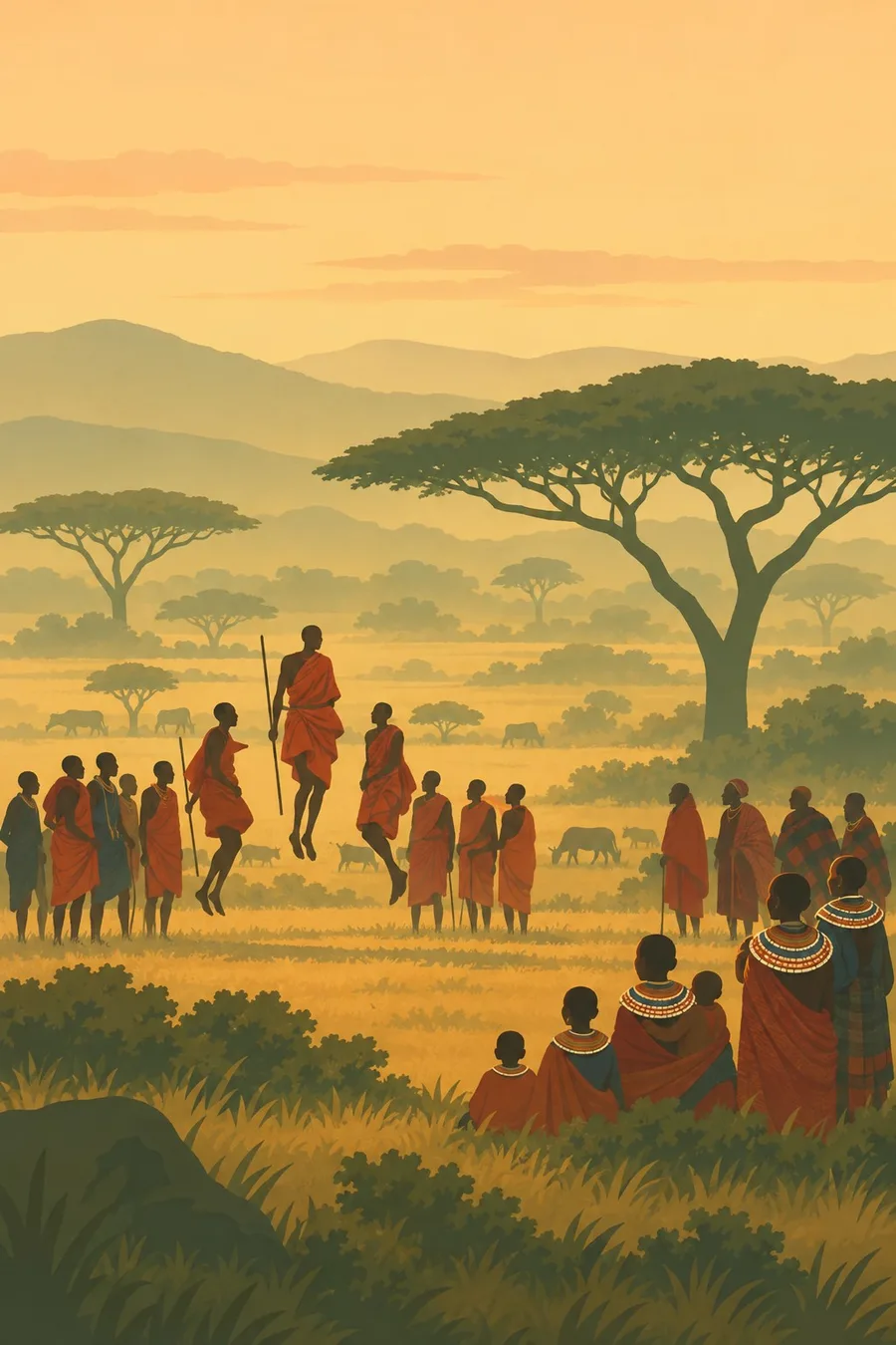
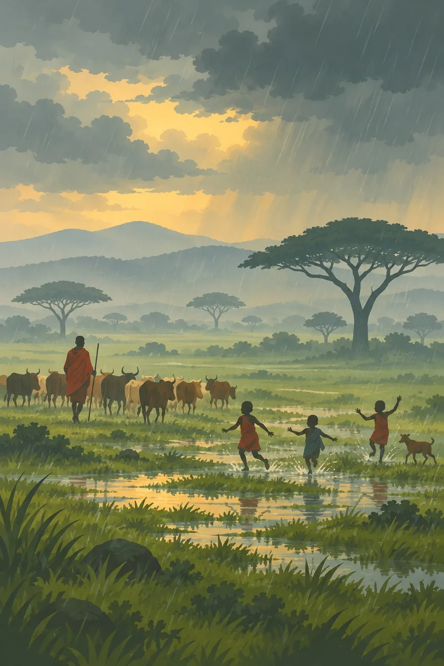
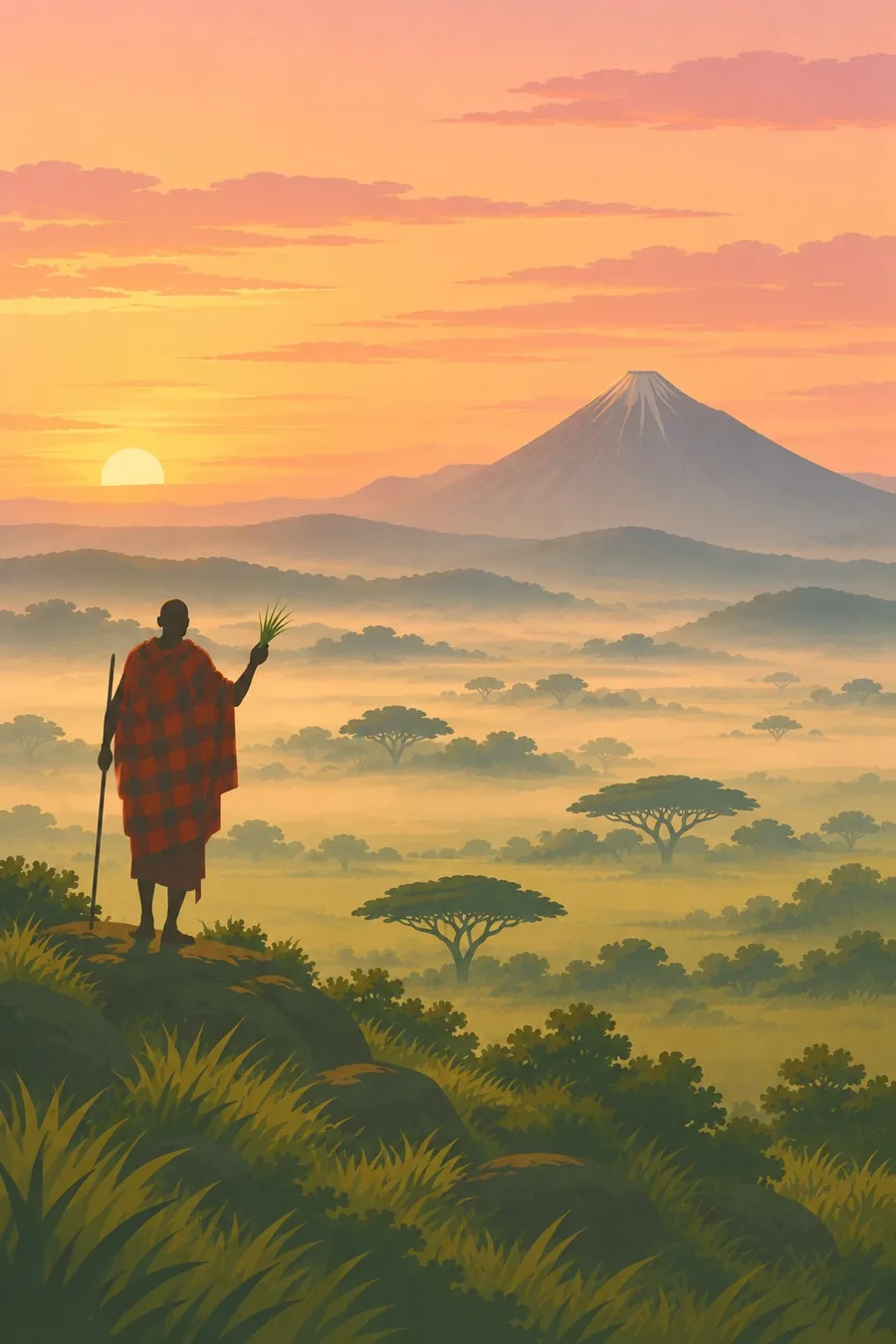
Illustrations made with AI in the style of the plates. They show life in general, not particular people or rites.
What it faces
Population growth and farming on the western edge squeeze the ecosystem. Poaching for bushmeat with snares kills many animals each year. Proposals for a commercial highway across the northern Serengeti, raised around 2010, were dropped after an international outcry, but road and infrastructure plans keep returning. The Mara River, which the migration crosses, is threatened by deforestation and water abstraction upstream in Kenya. Climate change could alter rainfall and grass growth. In and around the ecosystem, the expansion of hunting and conservation areas has been accompanied by the eviction of Maasai herders, which raises serious questions about rights. Anti-poaching patrols, cross-border river management and community conservancies are part of the response.
Sources
- UNESCO World Heritage Centre: Serengeti National Park
- Serengeti National Park (Wikipedia)
- UNESCO designates 9 natural World Heritage Sites, 1981 (Today in Conservation)
Written for Regenerative Voices from the sources above. Spotted something wrong? Tell us.