
The place
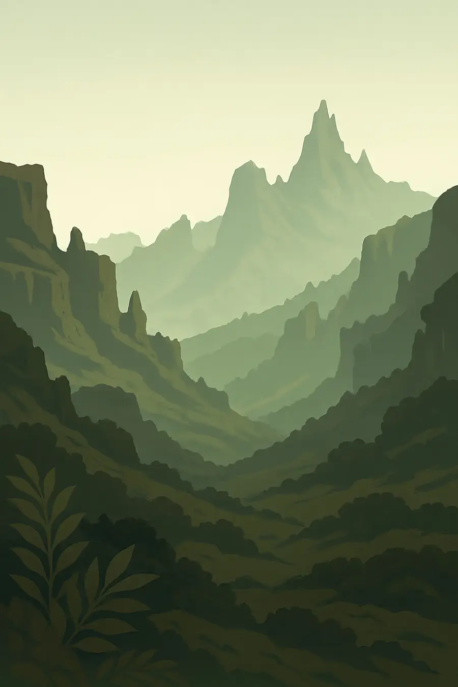
The Simien plateau stands at over 3,000 metres and ends in cliffs that drop more than a thousand metres to the lowlands below. Erosion has carved the old lava into pinnacles, steep gorges and flat-topped buttresses. Ras Dashen, the highest peak in Ethiopia, rises above 4,500 metres to the east. The highlands are cool and often misty, with frost at night, while the valleys below are hot. Giant lobelias and tree heathers grow on the high moorland. Troops of gelada monkeys graze along the cliff edges, their chatter carrying in the wind, and lammergeiers circle in the updrafts.
History
The mountains are the remains of huge outpourings of basalt about 30 million years ago, later cut deep by rivers and glaciers. People have farmed the highlands for thousands of years, and the Simien lay close to the heart of the Aksumite and later Gondarine kingdoms. Beta Israel, Ethiopian Jewish communities, lived in these mountains for centuries. The national park was established in 1969, and it was one of the first sites inscribed on the World Heritage List in 1978. It was placed on the danger list in 1996 because of declining wildlife and growing settlement, and removed in 2017 after improvements in protection.
Why it matters for the living world
The Simien are home to animals found only in the Ethiopian highlands: the walia ibex, which lives nowhere else; the Ethiopian wolf, Africa's most threatened carnivore; and the gelada, a grass-eating primate. The walia ibex nearly died out in the twentieth century and has recovered under protection, according to UNESCO and IUCN. The Afroalpine moorland and heath hold many endemic plants. The highlands also catch rain that feeds tributaries of the Tekezé and, through it, the Nile system. Their high grassland soils store carbon and water, and their health matters for farmers and towns downstream.
People of the place
The Simien are home to Amhara farming communities whose villages, terraced fields and pastures are spread across the highlands, including inside the park. People grow barley, wheat and beans and herd cattle, sheep and goats. Many work as scouts, guides, cooks and mule drivers for trekkers. As part of the plan to remove the park from the danger list, some villages, including Gich, were relocated outside the core of the park, a step that brought both new services and real losses for those who moved. The balance between conservation and the needs of families living in and around the park continues to be negotiated.
What it faces
Grazing and farming on the high slopes, together with soil erosion, have long been the main pressures. The road through the park brings traffic and settlement. Climate change is likely to push Afroalpine species higher with nowhere further to go. Wildfires have burned areas of heath. Since 2023, armed conflict in the Amhara region has disrupted tourism, park management and local livelihoods. IUCN noted in 2017 that challenges remained even after the danger listing ended. Responses have included extending park boundaries, community-based planning, alternative livelihoods and grazing controls, along with support from international partners for rangers and monitoring.
Sources
- UNESCO World Heritage Centre news: Simien National Park removed from the List of World Heritage in Danger
- Ethiopian park comes off World Heritage danger list but challenges remain (IUCN, 2017)
- Simien Mountains National Park (Wikipedia)
- Simien Mountains: beauty of nature and culture in the Ethiopian Highlands (FAO Mountain Partnership)
Written for Regenerative Voices from the sources above. Spotted something wrong? Tell us.