
The place
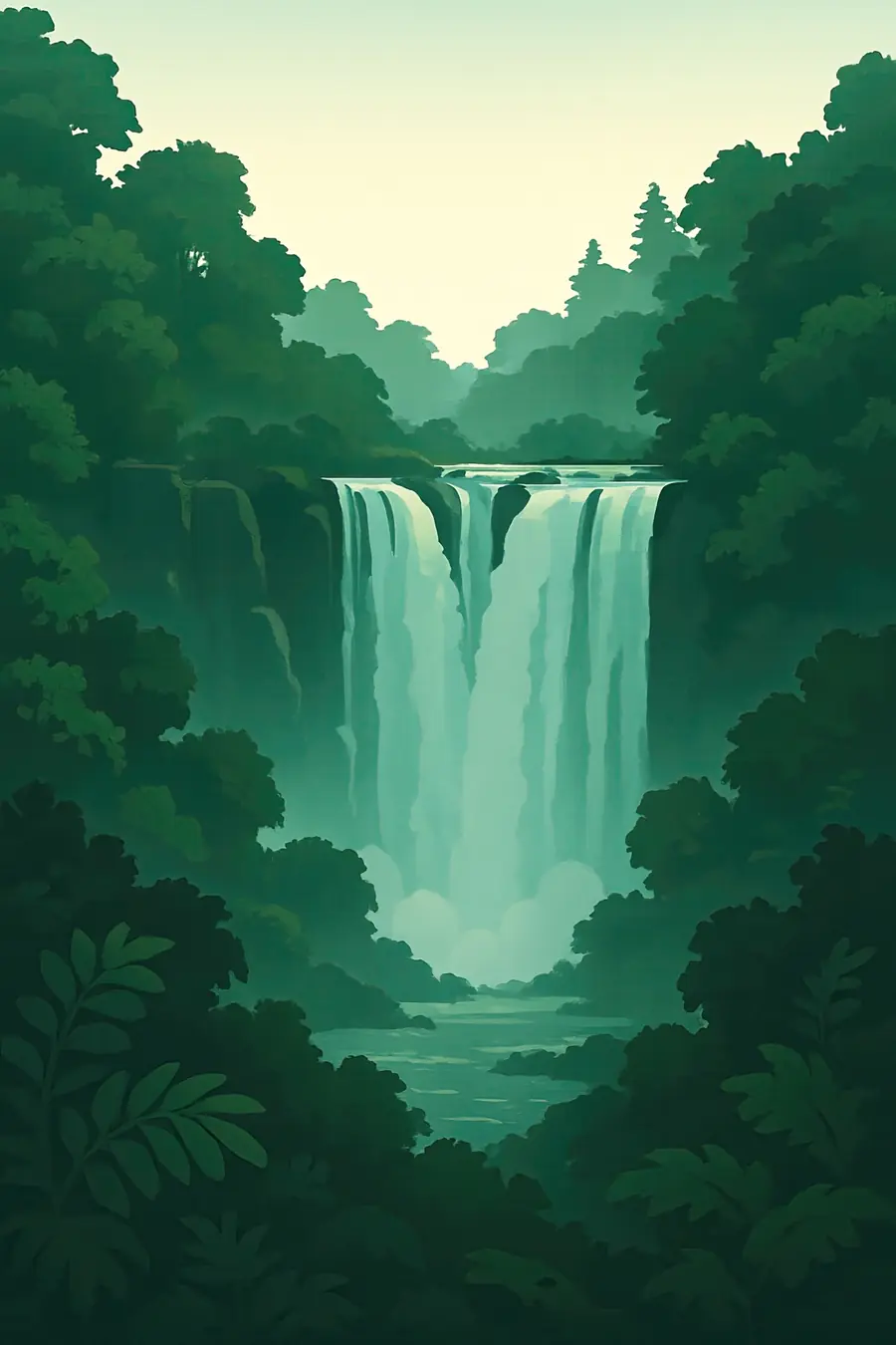
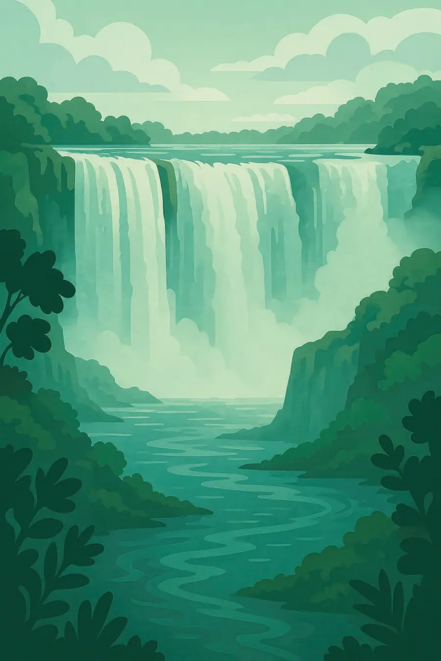
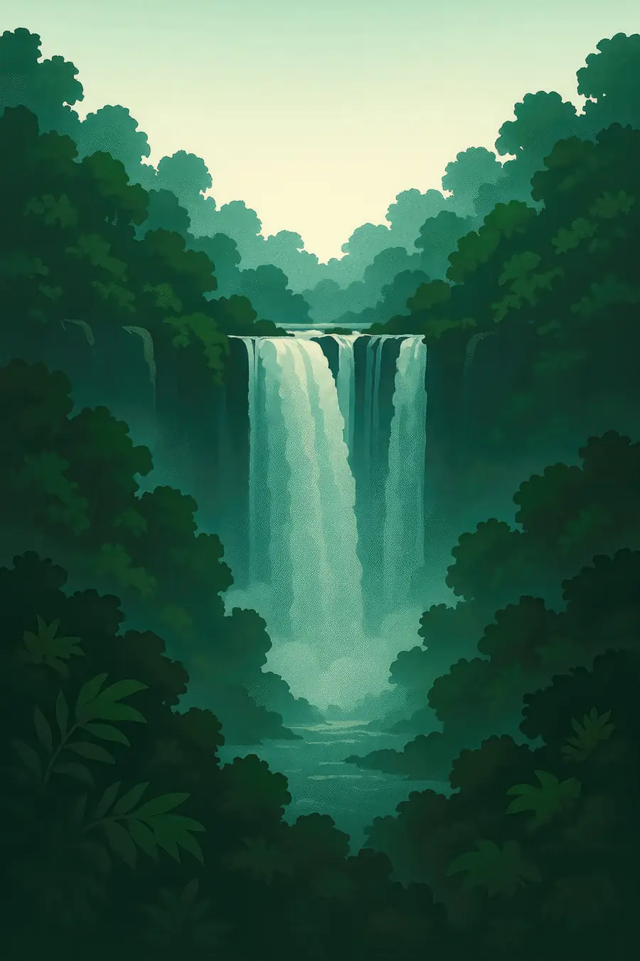
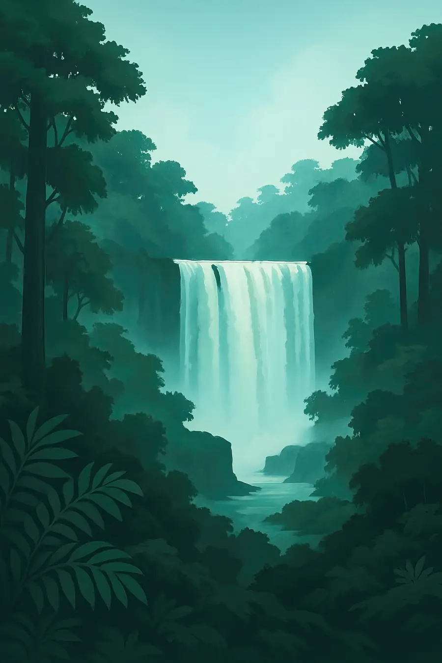
Here the Zambezi, more than a kilometre and a half wide, drops suddenly into a narrow chasm about 100 metres deep. The water plunges in a single long curtain, then funnels through a gap into a series of zigzag gorges. At high water, from about March to May, spray rises hundreds of metres and can be seen from far away, and the roar is deafening. In the dry season the flow shrinks and parts of the rock face show bare. The spray waters a strip of rainforest on the facing cliff, with ferns, palms and fig trees, while the land around is dry woodland. Rainbows form in the mist.
History
The Zambezi flows over a thick layer of basalt laid down some 180 million years ago. Water has found cracks in the rock and cut through them one after another, so over the last hundreds of thousands of years the falls have moved upstream, leaving the zigzag gorges behind as earlier positions of the waterfall. Stone tools show people lived nearby for a very long time. The Tokaleya Tonga, who call the falls Shungu Namutitima, boiling water, held ceremonies there. The name Mosi-oa-Tunya comes from the Kololo, who arrived in the nineteenth century. David Livingstone saw the falls in 1855 and named them after the British queen. UNESCO listed them in 1989.
Why it matters for the living world
The falls and gorges form a meeting point of very different habitats: wide river channels with islands and reed beds above the falls, the spray-fed rainforest at the edge, and dry mopane and miombo woodland beyond. The gorges are nesting places for birds of prey, including the Taita falcon, black eagle and peregrine. Hippos and crocodiles live in the river upstream, and elephants and buffalo cross between the parks. The falls themselves block fish movement, so the fish above and below differ. The flow of the Zambezi here depends on rain over a huge catchment, reaching back to Angola and western Zambia.
People of the place
The Tokaleya Tonga and Leya people live on the Zambian side, and the Nambya and Ndebele among others on the Zimbabwean side. The towns of Livingstone and Victoria Falls depend heavily on tourism, from rafting and bungee jumping to guided walks and crafts. Traditional leaders take part in ceremonies at the falls and in discussions about the site. Some communities have grown frustrated that tourism money flows mostly to outside companies and governments. Fishing, small farms and work in the parks are other livelihoods. People on both sides of the river share family ties, languages and a long history of crossing the Zambezi.
What it faces
Low rainfall in the Zambezi basin, as in the droughts of 2019 and 2024, has reduced the flow sharply, raising worries about climate change. The planned Batoka Gorge hydropower dam downstream, a joint project of Zambia and Zimbabwe, could flood parts of the gorges and alter the river; its design has been changed to reduce the impact on the falls. Urban and tourism development, including hotels near the rainforest, pressures the site. Invasive plants such as lantana spread in the rainforest. UNESCO and IUCN have asked both countries for a joint management plan and impact assessments, and the two parks coordinate cross-border management.
Sources
- UNESCO World Heritage Centre: Mosi-oa-Tunya / Victoria Falls
- Batoka Gorge Hydroelectric Power Station (Wikipedia)
- Batoka Gorge dam reduced to save Victoria Falls (The Anchor)
- Mosi-oa-Tunya / Victoria Falls (Everything Everywhere)
Written for Regenerative Voices from the sources above. Spotted something wrong? Tell us.