
The place
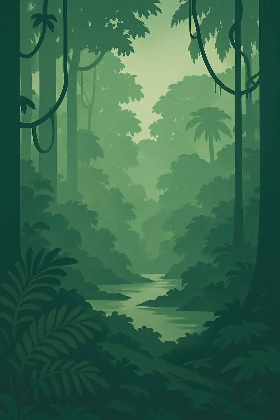
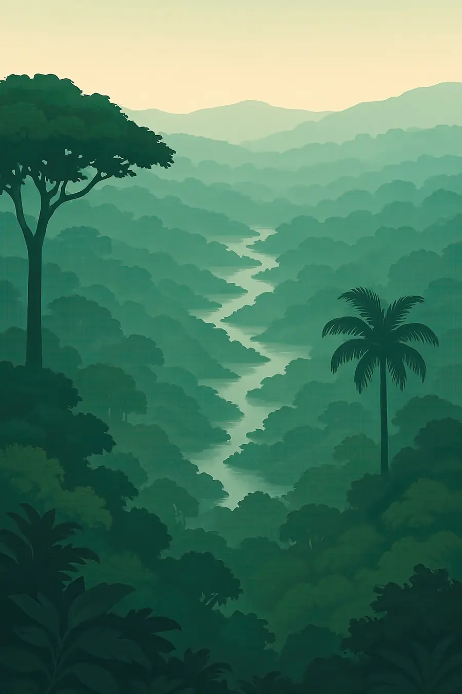
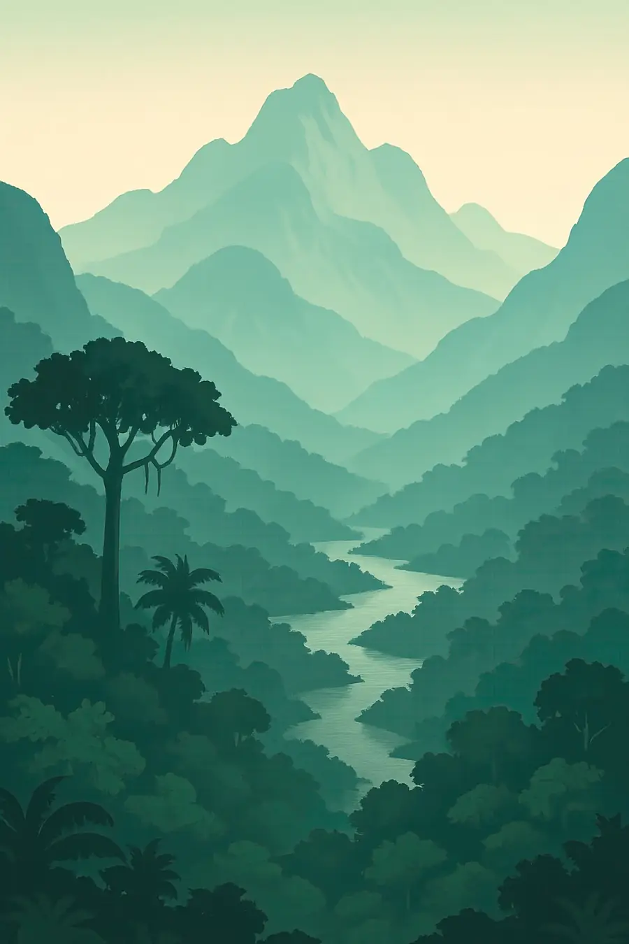
The forest covers a vast lowland basin between the Andes in the west, the Guiana Shield in the north and the Brazilian Shield in the south. The Amazon River and thousands of tributaries carry about a fifth of the world's river water to the Atlantic. Some rivers run black with tannins, some milky with Andean sediment, some clear. Each year floods spread into várzea and igapó forests, rising several metres and lasting months. The climate is hot and humid, with heavy rain. Under the canopy the light is dim and green. Mornings bring howler monkeys and birdsong; nights are loud with frogs and insects.
History
The Amazon basin took shape as the Andes rose and reversed the river's flow toward the Atlantic, millions of years ago. People have lived here for more than 10,000 years. Dark, fertile soils called terra preta, earthworks, raised fields and long-lived groves of useful trees show that many parts of the forest were shaped and tended by large Indigenous societies. European contact from the sixteenth century brought epidemics, enslavement and missions that emptied many regions. The rubber boom around 1900 brought further violence and forced labour, especially in the Putumayo. From the 1970s, roads, colonisation schemes, cattle, soy, logging, dams and mining opened large parts of the forest, mainly in Brazil and Bolivia.
Why it matters for the living world
The Amazon holds a large share of the world's land species, including jaguars, giant otters, river dolphins, harpy eagles and tens of thousands of plant species, many still undescribed. Its trees store enormous amounts of carbon, and their transpiration recycles rain inland and as far south as the farmlands of the Río de la Plata basin, through so-called flying rivers. A 2024 study in Nature led by Bernardo Flores found that by 2050 between 10 and 47 percent of the forest may face compounding stress from warming, drought, deforestation and fire, which could push parts of it past a tipping point toward degraded or savanna-like states. About a fifth of the forest has already been cleared.
People of the place
Hundreds of Indigenous peoples live in the Amazon; regional Indigenous organisations speak for 511 nations and allied groups. Some, especially in Brazil and Peru, live in voluntary isolation. Riverine and Afro-descendant communities, rubber tappers, small farmers and growing cities are also part of the region. Indigenous territories cover more than a quarter of the Amazon and, with protected areas, almost half of it, yet only a small share of deforestation occurs there. Indigenous organisations such as COICA push for land titles, for recognition of the roughly 100 million hectares still awaiting formal status, and for a voice in climate policy. Their knowledge of forest, fire and fish underpins how much of the region is still cared for.
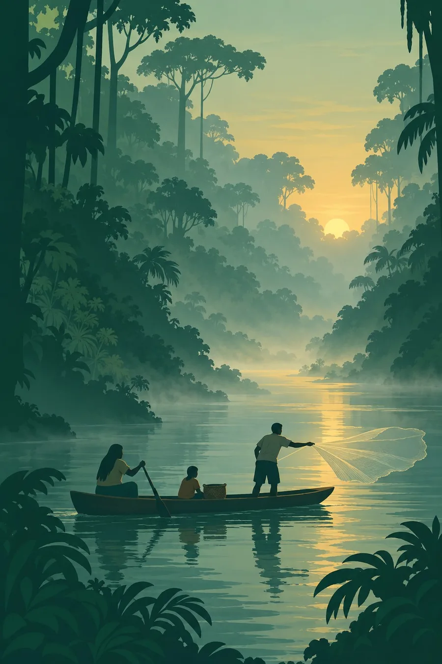
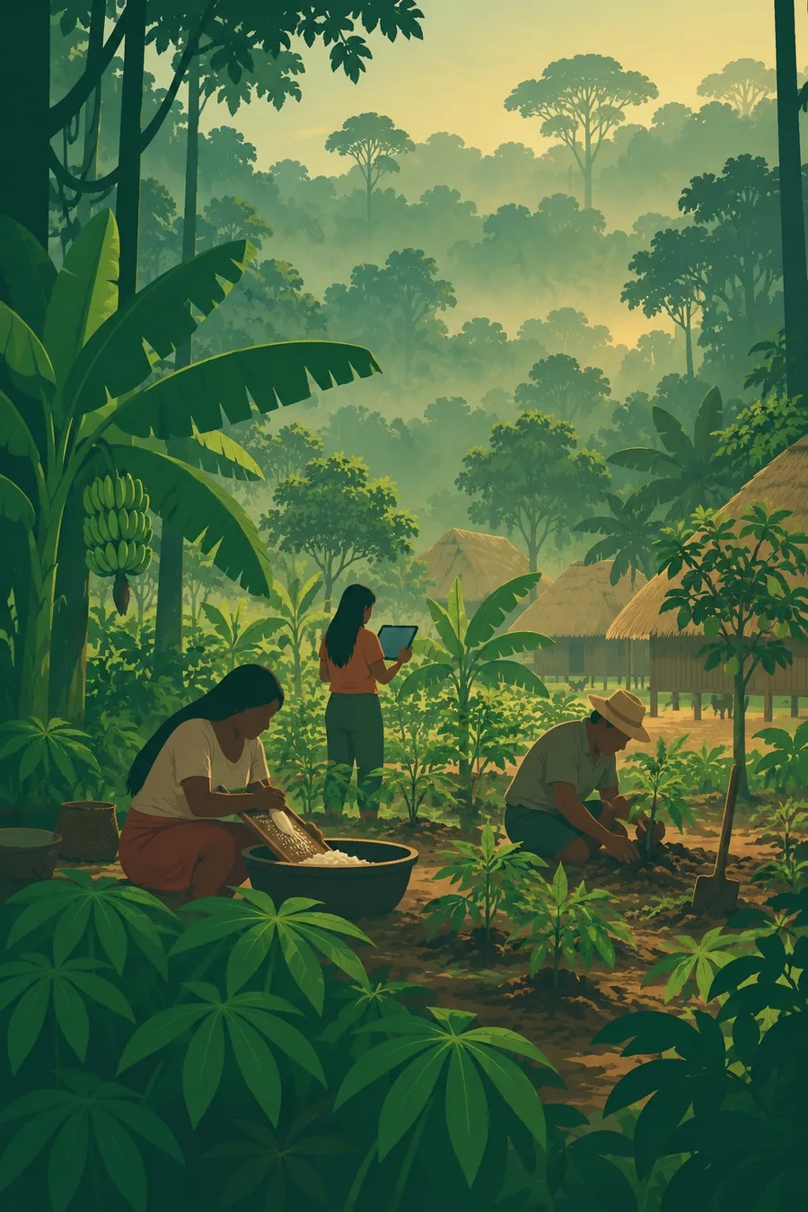
Illustrations made with AI in the style of the plates. They show life in general, not particular people or rites.
Seasons, celebrations and the sacred
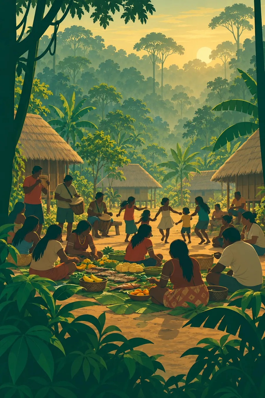
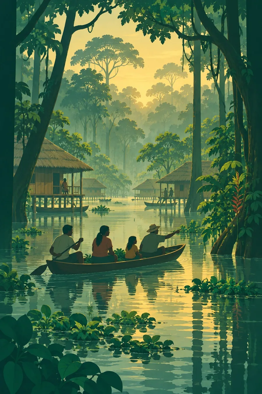
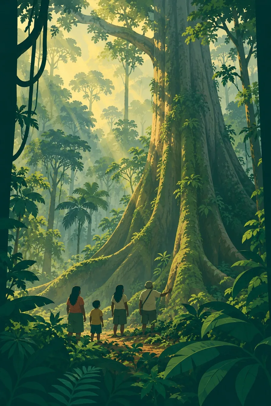
Illustrations made with AI in the style of the plates. They show life in general, not particular people or rites.
What it faces
Clearing for cattle pasture is the largest driver of forest loss, followed by soy, logging, mining, roads and dams. Illegal gold mining poisons rivers with mercury and brings violence into Indigenous lands. Severe droughts in 2023 and 2024 dried rivers to record lows and fuelled large fires. Oil drilling continues in the western Amazon. Scientists warn that combined warming and deforestation could tip parts of the forest into a drier, poorer state. Responses include protecting and titling Indigenous territories, satellite monitoring and enforcement, which brought Brazil's deforestation down after 2023, restoration of degraded land, and campaigns by Amazonian Indigenous organisations to protect 80 percent of the region by 2025.
Sources
- 'Unprecedented' stress in up to half of the Amazon may lead to tipping point by 2050 (Eco-Business, on Flores et al. 2024, Nature)
- Amazon in numbers (RAISG)
- Large parts of Amazon may never recover, major study says (RAISG / The Guardian, 2022)
Written for Regenerative Voices from the sources above. Spotted something wrong? Tell us.