
The place
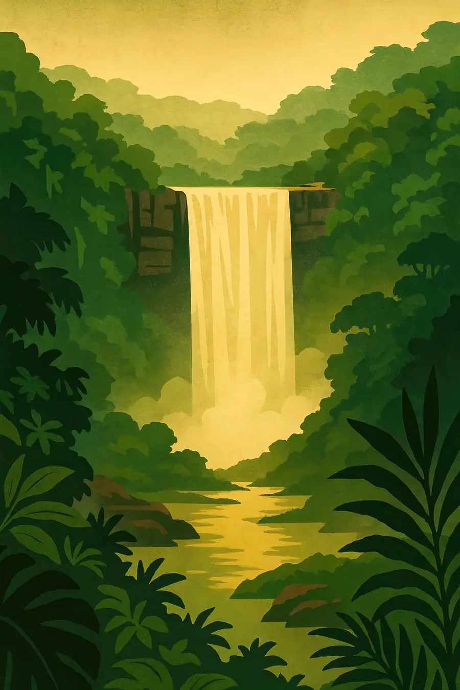
The Potaro River runs across a sandstone plateau and then falls 226 metres in a single sheer drop into a deep gorge, before tumbling over further cascades for a total of about 251 metres. With an average flow of about 660 cubic metres per second, it is one of the most powerful single-drop waterfalls in the world. The rock is part of the ancient Roraima sandstone of the Guiana Shield. Around the falls, the tableland holds open savanna, low scrub, bromeliads and boulders, while dense rainforest fills the gorge. The climate is warm and wet. The noise of the falls fills the air, and in the evening swifts sweep in to roost behind the water.
History
The sandstone that the Potaro cuts through formed more than a billion years ago, and the river has been wearing back the edge of the plateau ever since. The Patamona, a Carib-speaking people, have lived in these highlands for a long time and knew the falls long before Europeans. Their name for the falls is often linked to a legend about an old man, a toshao or chief, who paddled over the edge to save his people. The British geologist Charles Barrington Brown reached the falls in 1870 while surveying the colony of British Guiana. Kaieteur National Park was created in 1929, among the first national parks in South America, and was enlarged in 1999.
Why it matters for the living world
Kaieteur sits in the Guiana Shield, a region of old rocks and largely intact forests that stores large amounts of carbon and releases a large share of the world's fresh water to the sea. The park is the only home of the golden rocket frog, which lives its whole life inside large tank bromeliads. Guyana's Protected Areas Trust also lists the Groete Creek carrying frog, endemic to Guyana, which carries its young on its back. White-collared swifts roost behind the falls, and Guianan cock-of-the-rock, jaguars, giant anteaters and many orchids live in the surrounding forest and savanna. The tepui-like tableland holds plants adapted to poor, sandy soils.
People of the place
The Patamona people live in the Pakaraima highlands around the park, in villages such as Chenapau, close to the park's boundary. They hunt, fish, farm cassava and increasingly work in tourism and as rangers and guides. Their traditional knowledge of the land informs park management, and the Protected Areas Commission works with nearby communities on co-management. Patamona communities also live with the pressure of small-scale gold and diamond mining in the region, which provides cash income but harms rivers. Most visitors fly in from Georgetown for a few hours, though some walk in over several days through Patamona territory with local guides.
What it faces
Gold and diamond mining along the Potaro River and its tributaries is the main pressure on the land around the park. Mining muddies rivers, uses mercury and brings roads and settlements into the forest. Climate change may alter rainfall and river flows across the Guiana Shield. Rising tourism brings more flights and infrastructure. Guyana's oil boom, offshore, has increased national income and interest in conservation, but also raised questions about future development in the interior. Guyana's Low Carbon Development Strategy pays for forest protection through carbon credits.
Sources
- Kaieteur National Park (Protected Areas Trust, Guyana)
- Kaieteur Falls (Wikipedia)
- Kaieteur National Park (International Parks)
Written for Regenerative Voices from the sources above. Spotted something wrong? Tell us.