
The place
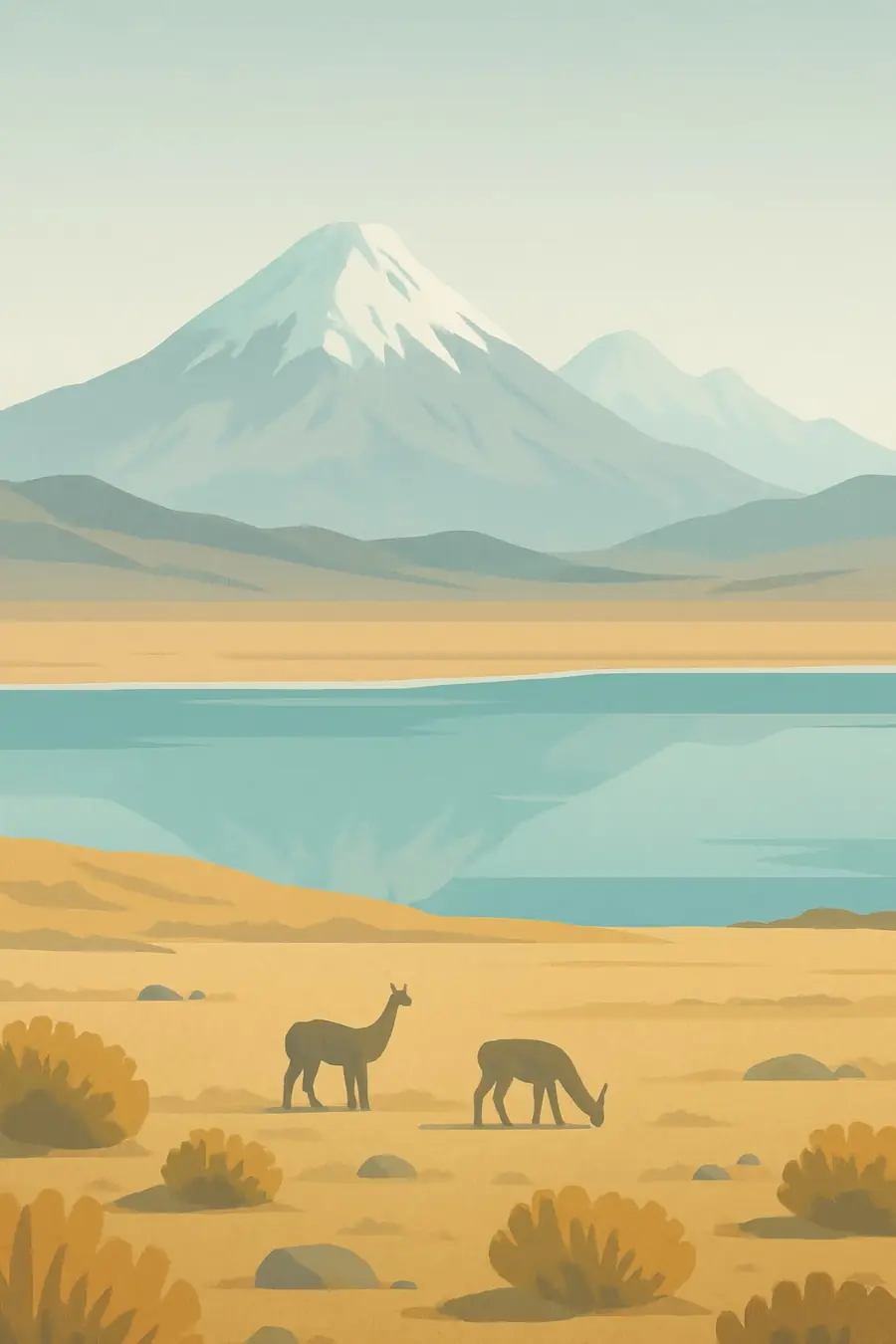
The plateau sits between two Andean ranges, the Cordillera Occidental and the Cordillera Oriental, at an average height of well over 3,500 metres. Its floor is a chain of closed basins filled with sediment, salt and water. In the north lies Lake Titicaca; further south the land dries into salt flats such as Uyuni and Coipasa. Snow-capped volcanoes, among them Sajama at 6,542 metres, rise from the western rim. The air is thin and clear, days are bright and nights often fall below freezing. Rain comes mostly in the southern summer. What you hear is wind over bunch grass, the whistle of vizcachas and, near the lagoons, the calls of flamingos.
History
The basins once held large lakes that shrank as the climate dried, leaving Titicaca, Poopó and the salt crusts behind. People have lived on the plateau for thousands of years, domesticating llamas, alpacas, potatoes and quinoa. Tiwanaku, near the southern shore of Titicaca, was the centre of a powerful Andean society in the first millennium CE, and the Inca later absorbed the region. After the Spanish conquest, the silver mine of Potosí on the plateau's eastern edge drew forced Indigenous labour through the colonial mita system for centuries. In the twentieth century, tin mining and land reform reshaped the region, and the Altiplano has remained a centre of Indigenous political movements in Bolivia and Peru.
Why it matters for the living world
The Altiplano holds high-Andean wetlands, salt lagoons and puna grassland that support species adapted to cold, altitude and drought. Wild vicuñas graze here, along with vizcachas and Andean foxes. Three flamingo species, the Chilean, Andean and puna (James's) flamingo, feed in shallow saline lagoons. Woodlands of queñua (Polylepis) on the slopes of Sajama are among the highest-growing forests in the world. Bofedales, cushion-plant peat bogs fed by meltwater, store carbon and water and keep pastures green through the dry season. Lake Titicaca holds endemic fish and the Titicaca water frog. Because water is scarce, small changes in glaciers, rainfall or groundwater ripple quickly through the whole system.
People of the place
Aymara and Quechua peoples make up most of the plateau's population, and the Uru live around Titicaca and Lake Poopó. Many families herd llamas and alpacas, grow potatoes and quinoa, fish, mine on a small scale or work in tourism. Communities manage pastures and water through ayllus and other collective institutions. In Sajama National Park, Aymara families live inside the park and in the zone around it and share in its management. In the southern salt flats, Quechua-speaking villages farm quinoa and herd llamas. Across the plateau, mountains are honoured as achachilas or apus, and Pachamama, the earth, receives offerings. These relationships inform how many people respond to new mining and water projects today.
What it faces
The plateau is drying and warming. Andean glaciers that feed rivers and bofedales are shrinking, and Lake Poopó, Bolivia's second-largest lake, dried out almost completely in 2015 before partly refilling. Mining for metals pollutes rivers and lakes, and the push for lithium in the salt flats of Bolivia, Chile and Argentina, the so-called lithium triangle, raises fears about freshwater. In Bolivia, Indigenous communities say they were not consulted about recent lithium contracts with Chinese and Russian companies. In Jujuy, Argentina, protests against mining reforms in 2023 met a violent police response. Some communities are mapping water, going to court and demanding consent before projects proceed.
Sources
- Sajama National Park (Wikipedia)
- Surviving the white gold rush: life in South America's lithium triangle (Al Jazeera, 2024)
- Bolivian communities push back against foreign-backed lithium projects (Mongabay, 2025)
Written for Regenerative Voices from the sources above. Spotted something wrong? Tell us.