
The place
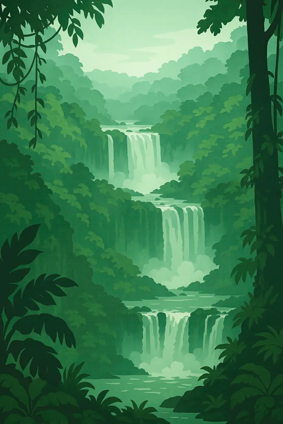
Just above its meeting with the Paraná River, the Iguazú River spreads to almost three kilometres wide and drops about 80 metres over a curved edge of basalt, broken into roughly 275 separate falls by islands and rock ledges. The largest, the Devil's Throat (Garganta del Diablo), is a narrow U-shaped chasm where much of the river plunges at once. Spray rises in a constant cloud, and rainbows form on sunny days. Around the falls grows subtropical Atlantic Forest, humid and warm year-round, with rains spread through the year. The roar of the water can be heard far into the forest, along with the chatter of toucans and coatis.
History
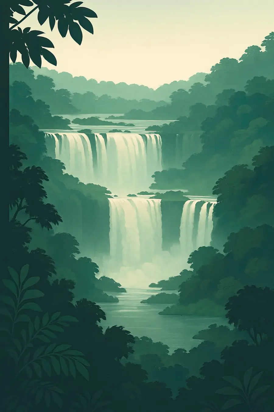
The falls cut into layers of basalt laid down by huge lava flows about 130 million years ago, when South America and Africa were splitting apart. The edge has slowly retreated upstream through erosion. The Guaraní people have long lived in this forest, and their name for the river means great water. A Guaraní legend tells of a forest god who split the river in anger when a woman he wanted to marry fled with her lover by canoe. The Spanish explorer Álvar Núñez Cabeza de Vaca reached the falls in 1541, and Jesuit missions were later built in the region. Argentina created its national park in 1934 and Brazil in 1939.
Why it matters for the living world
Together the two parks protect one of the largest remaining blocks of Atlantic Forest in the interior, a forest type that has been mostly cleared elsewhere. UNESCO records more than 2,000 vascular plant species, around 400 birds and possibly 80 mammals on the Argentine side. Jaguars, ocelots, pumas, tapirs, giant anteaters, harpy eagles and broad-snouted caimans live here, and great dusky swifts nest behind the curtains of water. The parks are part of a wider corridor of Atlantic Forest that runs through Misiones and into Paraguay. The river also holds endemic fish, and its flow is shaped by a chain of hydropower dams upstream in Brazil.
People of the place
The Mbyá Guaraní live in communities in and around the parks, especially on the Argentine side in Misiones, where several villages lie near Puerto Iguazú. They farm, make crafts, gather forest plants and take part in tourism, and some communities have long struggled for land titles and a say in park management. The falls draw well over a million visitors a year, which supports the towns of Puerto Iguazú in Argentina and Foz do Iguaçu in Brazil, the latter also home to the Itaipú dam. Many residents work in hotels, guiding and transport. Park staff from both countries cooperate on research and on protecting the jaguar population.
What it faces
Upstream hydropower dams on the Iguazú River regulate the flow, causing unnatural swings in water level. Severe droughts in 2006, 2020 and 2021 reduced the falls to a thin flow, while floods in 2014 and 2023 brought record volumes. Deforestation and soy and cattle farming outside the parks isolate the forest. Poaching and illegal palm-heart harvesting continue. A plan to reopen the Estrada do Colono, a road through the Brazilian park that a court closed in 2001 and that led UNESCO to place the site on its danger list from 1999 to 2001, keeps returning in Brazil's congress. Joint jaguar monitoring has helped the cat population recover inside the parks.
Sources
- Iguazu National Park (UNESCO World Heritage Centre)
- Iguaçu National Park (UNESCO World Heritage Centre)
- Iguaçu National Park (Wikipedia)
Written for Regenerative Voices from the sources above. Spotted something wrong? Tell us.