
The place
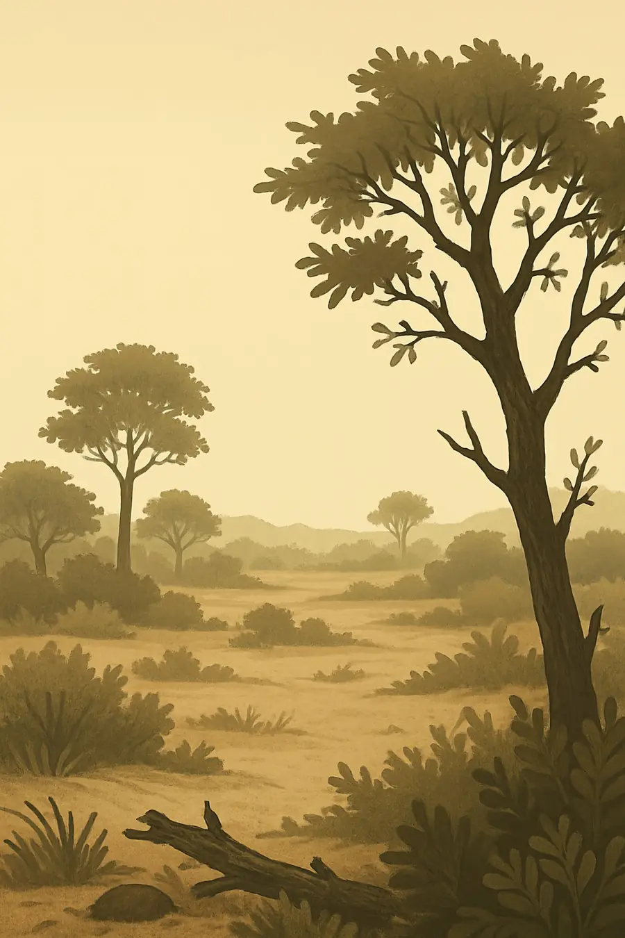
The Chaco is a flat plain that slopes gently from the Andean foothills east toward the Paraguay and Paraná rivers. It covers about a quarter of a million square miles. The west is semi-arid, with thorny scrub, cacti and hard-wooded quebracho trees; the east is wetter, with palm savannas, marshes and gallery forests. Summers are among the hottest in South America, often above 40°C, and heavy rains alternate with long droughts. Rivers such as the Pilcomayo and Bermejo carry silt from the Andes and shift their courses across the plain. The dry forest is dense and thorny, and the air is filled with cicadas, parakeets and the calls of chachalacas.
History
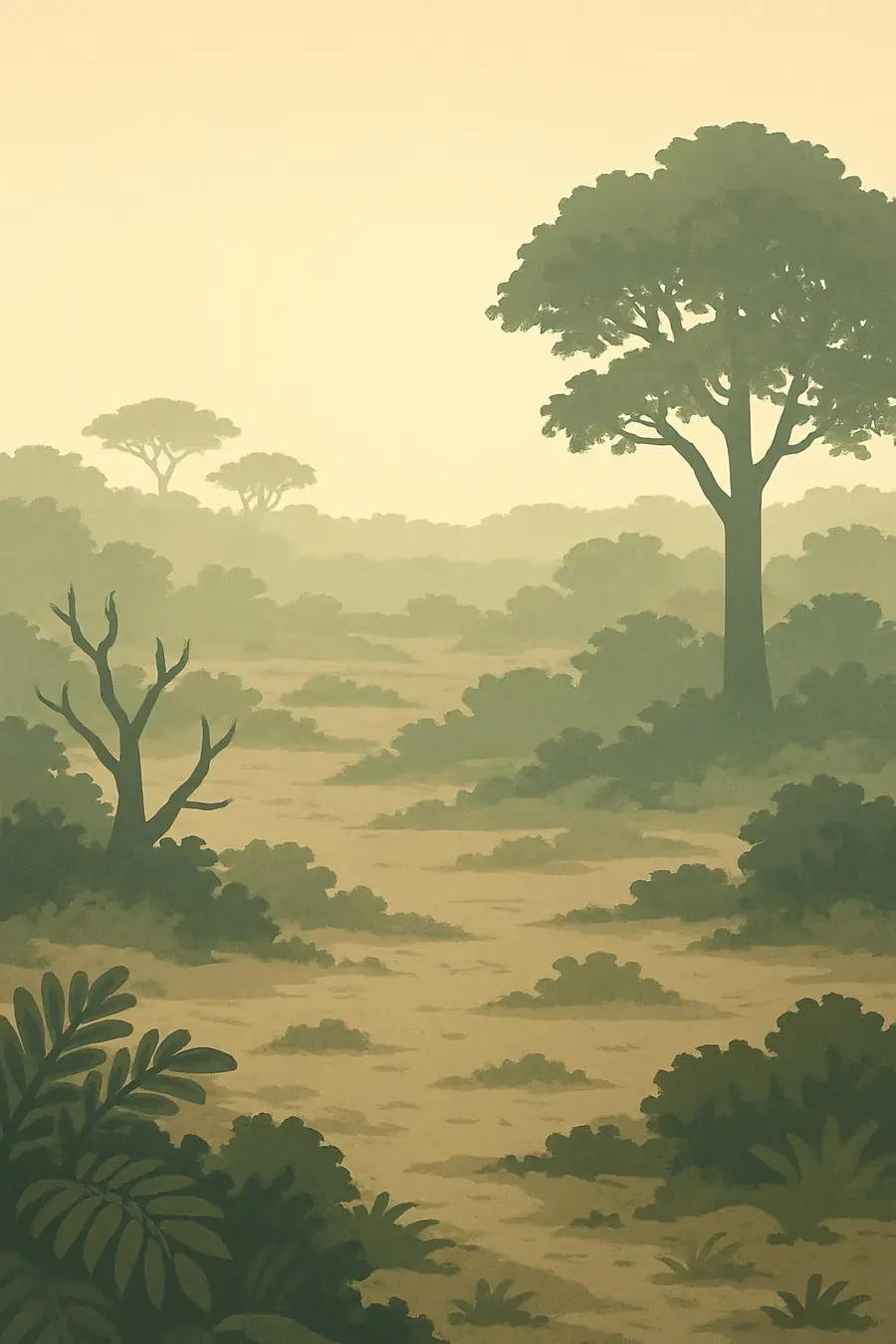
The Chaco formed on a sinking basin filled with sediments from the rising Andes. For thousands of years it has been home to many Indigenous peoples who hunted, fished, gathered honey and carob pods and moved with the seasons. Spanish colonisers found the region hard to control, and it remained largely Indigenous until the late nineteenth century, when Argentine military campaigns and colonisation pushed in. Quebracho logging for tannin, sugar plantations and cotton relied on Indigenous labour. The Chaco War between Bolivia and Paraguay (1932–1935) was fought here, and Mennonite settlers arrived in the Paraguayan Chaco from the 1920s. Large-scale clearing for cattle and soy began in the late twentieth century.
Why it matters for the living world
WWF counts about 3,400 plant species, 500 bird species, 150 mammals and 220 reptiles and amphibians in the Chaco. Jaguars, giant armadillos, giant anteaters, tapirs and three species of peccary live here, including the Chacoan peccary, which scientists knew only from fossils until 1975. The forests store a great deal of carbon in their wood and roots, and they help regulate rainfall and temperature across the region. Research cited by Mongabay found that bird populations collapse when forest loss reaches about 30 to 40 percent in a landscape. Wetlands such as the Bañados del Izozog and the lower Pilcomayo are key stopovers and breeding grounds for waterbirds.
People of the place
More than twenty Indigenous peoples live in the Chaco, among them the Wichí, Qom (Toba), Pilagá, Mocoví, Nivaclé, Enxet, Guaraní and Ayoreo. Some Ayoreo Totobiegosode groups, an estimated few hundred people, still live in voluntary isolation in Paraguay's northern Chaco, and the Ayoreo have claimed a 550,000-hectare territory there for decades. Criollo families raise goats and cattle on open forest land. Many Indigenous communities lack secure land titles, and clearing has pushed them off land they used for hunting and gathering. In 2020 the Inter-American Court of Human Rights ruled in favour of the Lhaka Honhat association of Indigenous communities in Salta, Argentina, ordering the state to title their land.
What it faces
Clearing for cattle pasture and soy has made the Chaco one of the world's deforestation hotspots. Guyra Paraguay reported more than 2.9 million hectares cleared between 2010 and 2018, most of it in Argentina. When Paraguay banned forest clearing in its eastern region in 2004, ranching moved into the Chaco, where the ban did not apply. Logging for charcoal and firewood, new roads, drought and fire add to the loss. Forest destroyed in isolated Ayoreo territory threatens their survival. Responses include Argentina's 2007 forest law, which zones land for protection, Indigenous land claims and court cases, new protected areas, and pressure on beef and soy buyers in Europe.
Sources
- Gran Chaco (WWF)
- Gran Chaco, South America's second-largest forest, at risk of collapsing (Mongabay, 2019)
- Ill-gotten lands: deforestation and isolation in Paraguay's Gran Chaco (Earthsight)
Written for Regenerative Voices from the sources above. Spotted something wrong? Tell us.