
The place
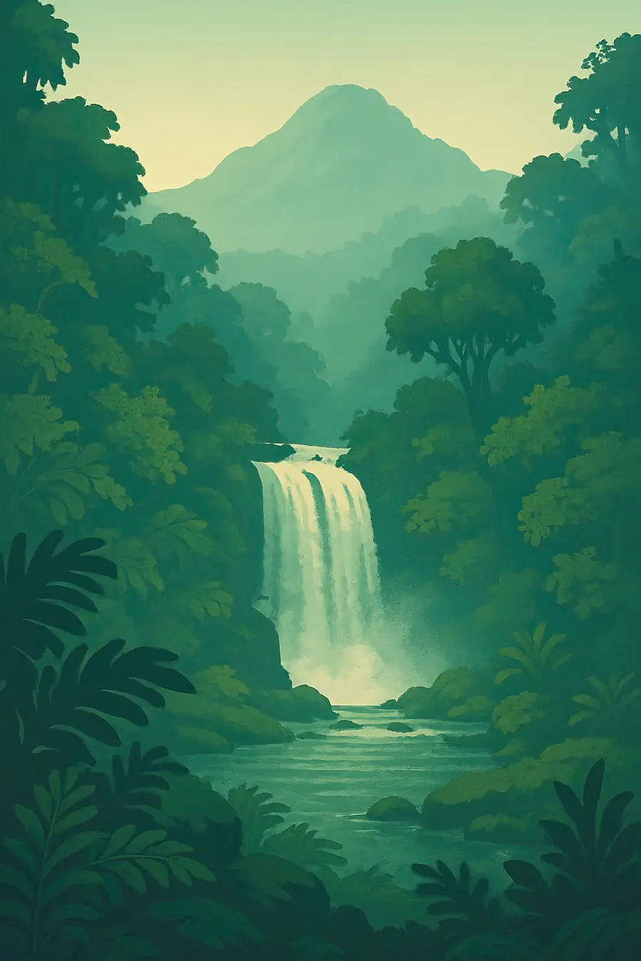
Taveuni is an elongated shield volcano whose ridge runs the length of the island. Its highest peak, Uluigalau, reaches 1,241 m. Scientists have counted 167 volcanic vents formed over roughly the last 11,000 years, and the island has erupted within the last two thousand years. High in the mountains lies Lake Tagimaucia, in an old crater. The windward east side receives heavy rain, so streams and waterfalls fall through dense forest to the sea; the western side is drier. Black and white sand beaches and coral reefs fringe the coast. The air is warm and humid.
History
Fijians have lived on Taveuni for many centuries, and the island is the seat of the Tui Cakau, paramount chief of the Cakaudrove confederacy, at Somosomo. Hill forts and old village sites lie in the forest, including at Vidawa in Bouma. In the 19th century, Taveuni saw conflict between local chiefs and Tongan forces, and European planters arrived to grow cotton and later coconuts for copra on large estates. Fiji became a British colony in 1874 and independent in 1970. In 1990 the people of Bouma district set up the Bouma National Heritage Park with support from the Fijian and New Zealand governments.
Why it matters for the living world
Taveuni has some of the most intact rainforest in Fiji, and because the mongoose was never introduced here, its birds have fared better than on larger islands. The island is home to rare birds such as the orange dove and the Taveuni silktail, which is found nowhere else, and it is one of the best places in Fiji for birdwatching. The tagimaucia, a red and white flowering vine, grows in the high forest around the crater lake. The surrounding waters, including the Somosomo Strait and the Rainbow Reef, are rich in soft corals and fish. The forests protect the island's water supply.
People of the place
Most people on Taveuni are iTaukei, Indigenous Fijians, living in villages that hold customary land through their clans, alongside Indo-Fijian and other families. Many grow dalo, or taro, kava and coconuts, and Taveuni is a major source of these crops for Fiji. The tagimaucia flower features in a well-known legend about a young woman whose tears turned into its blossoms. Villages in Bouma run their own eco-tourism: Waitabu manages a marine reserve, Vidawa leads rainforest hikes to ancient ruins, Korovou runs the Tavoro waterfalls trail, and Lavena offers a coastal walk. Diving and small resorts also provide jobs.
What it faces
Clearing forest for dalo and kava farms is pushing cultivation higher up the slopes, which threatens native forest, water supplies and soils. Cyclones are a major hazard; Cyclone Winston in 2016 caused heavy damage to homes, crops and forests. Warming seas bring coral bleaching to the reefs. Invasive species, including plants and introduced animals, are a risk, and keeping the mongoose off the island is important for its birds. Community-run reserves, forest protection on the central ridge and marine areas managed by villages are key responses, but they depend on steady income from tourism and fair benefits for landowners.
Sources
- Mount Taveuni – Wikipedia
- Bouma National Heritage Park – Rough Guides
- The weeping tagimaucia flower – Rough Guides
- Taveuni – Wikivoyage
Written for Regenerative Voices from the sources above. Spotted something wrong? Tell us.