
The place
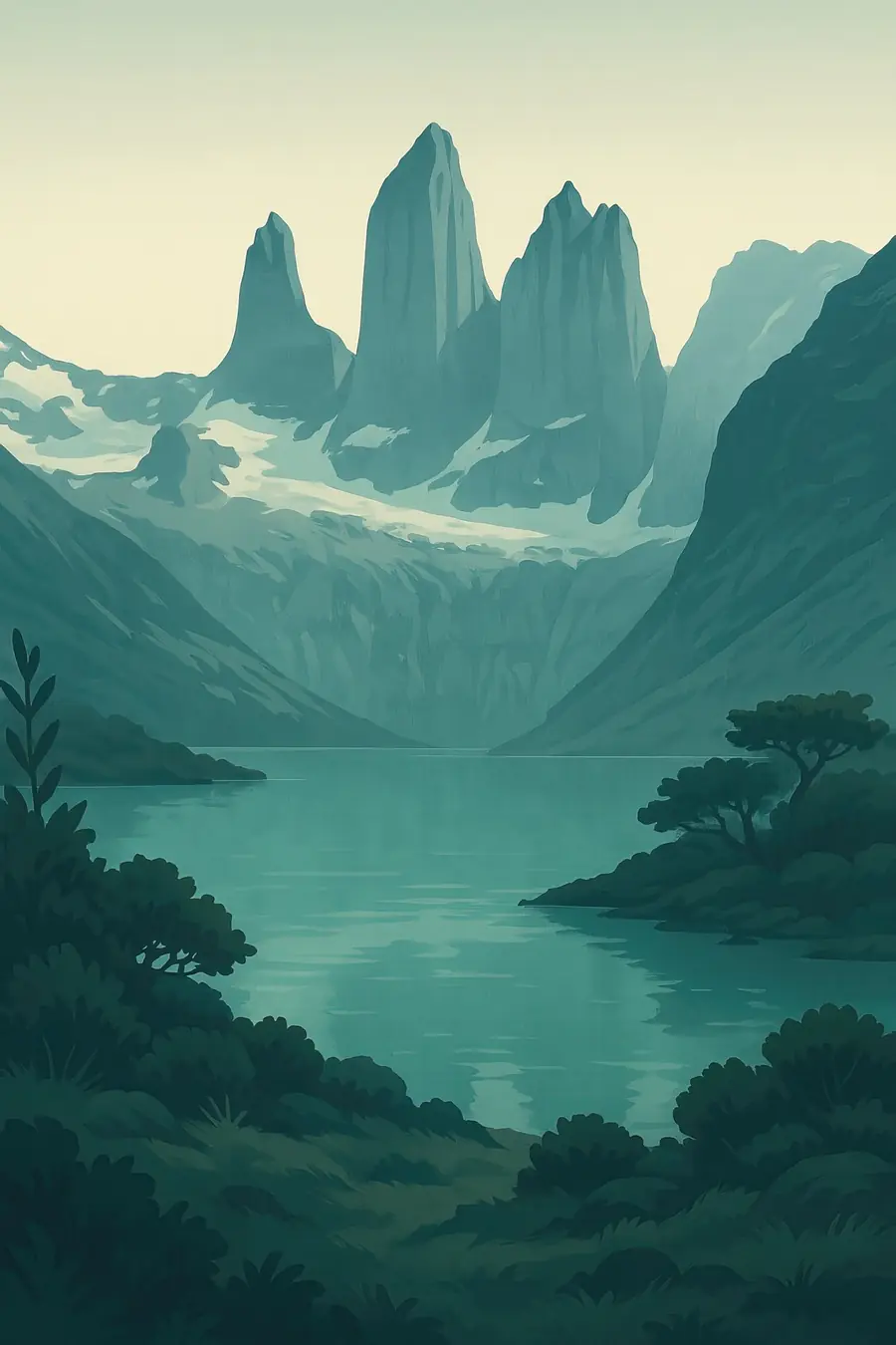
The Paine massif rises abruptly from the steppe. Its three granite towers and the dark-capped Cuernos del Paine, where pale granite sits under darker sedimentary rock, stand above lakes of turquoise and milky blue, such as Pehoé, Nordenskjöld and Grey. To the west, the Grey Glacier flows from the ice field into Lago Grey, dropping icebergs. The park spans steppe, southern beech forest, moorland and ice. Winds can be extremely strong, and the weather changes many times a day. In the Aónikenk language, paine means blue, after the colour of the lakes. You hear wind, rushing rivers and the calls of guanacos.
History
The Paine granite formed about 12 million years ago when magma cooled deep under older sedimentary rocks, and glaciers later carved away the softer rock to expose the towers. The Aónikenk, or southern Tehuelche, hunted guanaco on the surrounding steppe for thousands of years and left rock paintings in the area. In the late nineteenth century, the land was taken for large sheep estancias, and Indigenous people were displaced. Chile created the park in 1959, and its name became Torres del Paine in 1970. In 1977 the Italian climber Guido Monzino donated land that expanded it. UNESCO named it a biosphere reserve in 1978.
Why it matters for the living world
The park protects a meeting zone of ice field, mountains, forest and steppe. Guanacos are one of its most common mammals, and pumas here are among the most studied in South America, partly because they hunt guanacos in open country where they can be watched. The endangered huemul deer lives in the forests, along with Andean condors, rheas, flamingos and black-necked swans on the lakes. Lenga beech forests have been badly hurt by fire and recover slowly in the harsh climate. The glaciers feeding the park's lakes and rivers are shrinking, which changes the water that flows through the system.
People of the place
The Aónikenk once used the land around the park, and Tehuelche heritage is part of the region's history, though few descendants live there today. Most nearby residents live in Puerto Natales, about 100 kilometres south, where tourism has largely replaced meat packing and ranching. Some estancias around the park now offer tourism, and lodges and campsites are run by private concessions. Chile's national forest service, CONAF, manages the park. The park received about 305,000 visitors in 2019, about half of them from abroad, providing work for many guides, porters and hotel staff. Gauchos still work on the ranches around it.
What it faces
Fire is a serious threat. Visitors caused major fires in 1985, 2005 and 2011–2012; the last burned about 176 square kilometres, including some 36 square kilometres of native forest. Since then, open fires have been banned and visitors receive fire-safety guidance, and reforestation projects have planted lenga. Growing tourism brings crowding on trails, waste and sewage, and pressure for new infrastructure, and the main trails now require advance bookings. Climate change is shrinking the Grey and other glaciers. Conflicts between pumas and ranchers on neighbouring land are being addressed through tourism that values live pumas and through programmes that help ranchers protect livestock.
Sources
- Torres del Paine National Park (Wikipedia)
- Plan de manejo de proyecto de reforestación en Parque Nacional Torres del Paine (Reforestemos, 2012)
- Chile's Torres del Paine is at the forefront of sustainable tourism (Jetsetter Magazine)
Written for Regenerative Voices from the sources above. Spotted something wrong? Tell us.