
The place
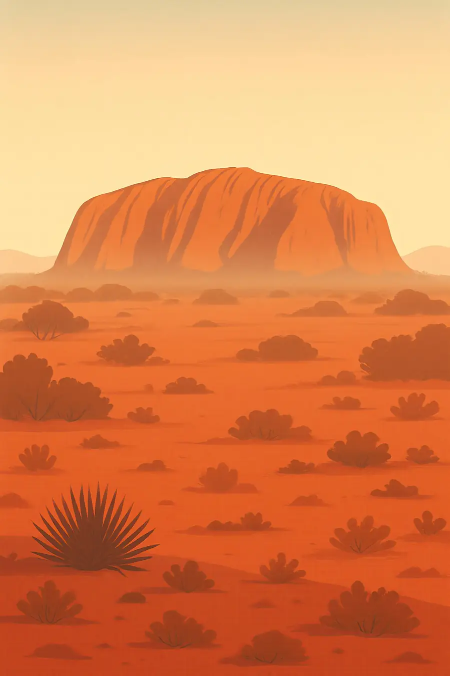
Uluṟu rises about 350 m above a flat sandy plain, a single body of arkose sandstone whose layers have been tilted almost vertical. Its surface glows red from iron oxide and changes colour through the day. About 25 km to the west, Kata Tjuṯa is a group of more than thirty rounded domes made of conglomerate, rock packed with cobbles and boulders. Around them lie red sand dunes, spinifex grass, desert oaks and mulga woodland. The climate is arid, with hot summers, cold winter nights and rare but heavy rain, when waterfalls stream down the rock and waterholes fill.
History
Aṉangu have lived in this country for tens of thousands of years. For them, Uluṟu and Kata Tjuṯa were formed by ancestral beings during the creation period, and the marks, caves and waterholes record their journeys and laws, known as Tjukurpa. In 1873, the surveyor William Gosse named the rock Ayers Rock. Tourism grew from the mid 20th century, and climbing the rock became common, despite Aṉangu objections. After a long campaign, title to the land was formally handed back to Aṉangu on 26 October 1985, and leased back for joint management as a national park. The climb was closed permanently in October 2019.
Why it matters for the living world
Although it looks dry, the park supports a rich desert ecology. Rain running off Uluṟu feeds waterholes and gullies that shelter plants and animals in an arid landscape. The park is home to many reptiles, including the great desert skink, or tjakura, as well as marsupial moles, bats and many birds. The mala, or rufous hare-wallaby, which had disappeared from the region, was reintroduced into a predator-proof enclosure. Spinifex grasslands and sand dunes support specialised insects and plants. Aṉangu knowledge of animal tracks, plants and fire is central to understanding and caring for these ecosystems.
People of the place
The Aṉangu Traditional Owners, mainly Pitjantjatjara and Yankunytjatjara people, live at Mutitjulu community near the base of Uluṟu and across the wider region. They manage the park jointly with Parks Australia through a board with an Aṉangu majority, guided by Tjukurpa. Aṉangu ask visitors not to climb, and not to photograph certain sacred sites. Many work as rangers, guides and artists, and the cultural centre shares their stories. The handback of 1985 is remembered as a landmark in the recognition of Aboriginal land rights, and the 2017 Uluṟu Statement from the Heart was issued at a gathering near the rock.
What it faces
Introduced buffel grass spreads across the park, crowding out native plants and fuelling hotter, larger fires. Feral cats, foxes and camels threaten small mammals, reptiles and waterholes. Changing fire patterns since the disruption of traditional burning have altered vegetation, and rangers now carry out patch burning with Aṉangu. Climate change is bringing more extreme heat, which affects visitors, wildlife and community life. Tourism is the main income for the region, and managing visitor numbers, respectful behaviour and infrastructure remains a balance. Aṉangu continue to seek full respect for their law and a strong voice in decisions about their country.
Sources
- Uluru handback: 40 years in Anangu hands – National Indigenous Australians Agency
- Uluru handback to Anangu – National Museum of Australia
- 40 years since Uluru was returned – Amnesty International Australia
- 'This is not Disneyland': Traditional Owners ban Uluru climbs – SBS NITV
Written for Regenerative Voices from the sources above. Spotted something wrong? Tell us.