
The place
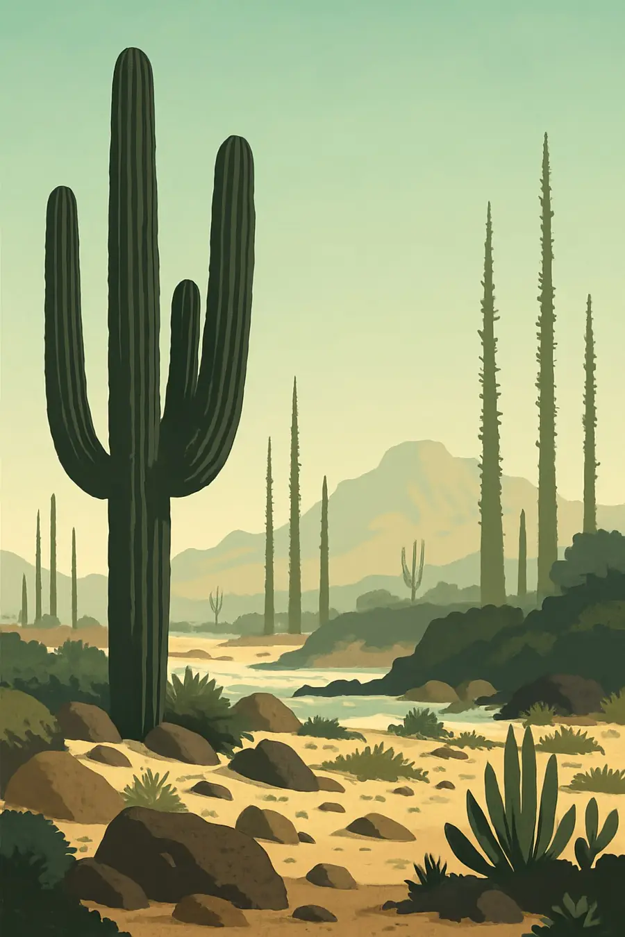
The protected area covers more than 2.5 million hectares of desert, mountains and coast in southern Ensenada municipality, reaching from the Pacific to the Gulf of California. Its best-known landscape, around Cataviña, is a field of huge granite boulders scattered among tall cacti and strange, tapering cirio trees that rise like upside-down carrots. Elsewhere there are volcanic mesas, dry arroyos, salt flats and dunes. The Pacific side is cooled by fog and sea breezes, while the Gulf side is hotter and drier. Rain is scarce and unpredictable, and after rare storms the desert floor bursts into flowers. You hear wind, the calls of ravens and quail and, at night, coyotes.
History
People have lived in central Baja California for many thousands of years, leaving rock paintings and engravings in caves and on boulders, including around Cataviña. When the Spanish arrived, this was the land of the Cochimí, who lived by gathering wild plants, hunting and fishing along the coasts. Jesuit missionaries founded missions in the region in the 1700s, including San Francisco de Borja. Epidemics of European diseases and the upheaval of mission life caused the Cochimí population to collapse. Later the region was used for ranching and small-scale mining, and it remained thinly settled. The Mexican government first protected the area in 1980, and it was given its current status in 2000.
Why it matters for the living world
Valle de los Cirios is one of the largest protected areas in Mexico and a stronghold of the Central Desert of Baja California. The cirio, or boojum tree, grows almost nowhere else, apart from a small area in Sonora across the Gulf. Cardón cacti, elephant trees, yuccas and many other cacti and succulents grow here, a large share of them endemic to the peninsula. Desert bighorn sheep, mule deer, pumas and many reptiles live in its mountains and plains. Its coasts are important for seabirds, sea lions and grey whales passing offshore. Together with the El Vizcaíno Biosphere Reserve to the south, it forms a long continuous protected area.
People of the place
The area has few residents, living in small ranches, ejidos and fishing villages such as Bahía de los Ángeles and settlements along the Transpeninsular Highway. Ranchers raise goats and cattle, and fishers work both coasts. Cochimí, Kumiai, Pa ipai and Kiliwa communities live further north in Baja California and keep ties to the peninsula's history. Many local families earn part of their income from travellers on the highway, and some work as guides to rock art sites and the boulder fields. Local committees and CONANP staff work together on surveillance, environmental education and the management of the reserve.
What it faces
Mining is a recurring concern, and federal environmental authorities have closed at least one mining project inside the reserve for lacking permits. Illegal collection of cacti and other plants for the ornamental trade affects rare species. Off-road racing and vehicles cut tracks through fragile desert soils. Grazing by livestock changes plant communities. Road building and tourism growth along the highway and coasts bring more traffic and waste. Climate change may bring longer droughts and higher temperatures to a desert already near its limits. CONANP, local communities and conservation groups carry out monitoring, patrols and education, though the area is very large for its small staff.
Sources
- Valle de los Cirios (Wikipedia)
- Profepa clausura proyecto minero en área natural protegida de Ensenada (Zeta Tijuana)
- Valle de los Cirios in Cataviña (Baja California Travel)
- Visit Mexico's most striking cacti sanctuary (El Universal)
Written for Regenerative Voices from the sources above. Spotted something wrong? Tell us.