
The place
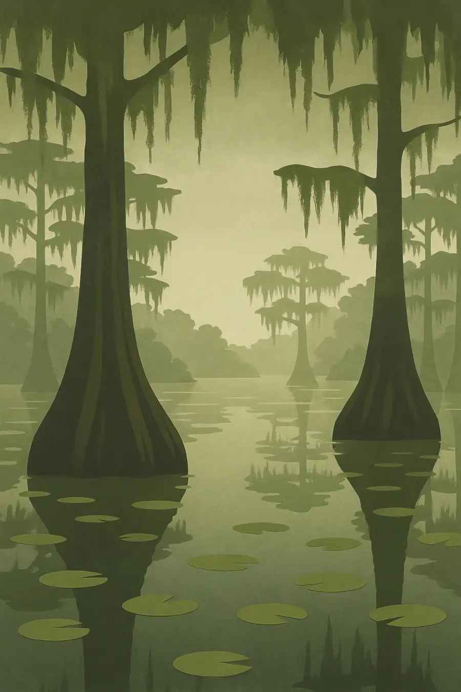
The basin is a floodplain roughly 20 miles wide and 150 miles long, held between levees and covering about 1.4 million acres including the swamps beyond them. About seven tenths is forest, mostly bald cypress and tupelo standing in slow brown water, with willow and bottomland hardwoods on higher ground. The rest is marsh, bayous and open lakes. The river rises and falls each year, flooding the swamp in spring and drawing back in late summer. Spanish moss hangs from the trees, and the air is heavy and warm for most of the year. You hear frogs, herons, outboard motors and, at night, the grunt of alligators. Interstate 10 crosses it on a bridge 18 miles long.
History
The Atchafalaya is a young river in geological terms, one of the channels the Mississippi has shifted between over thousands of years. The Chitimacha lived throughout the basin for centuries, and village sites such as those near Bayou Chene carry their names. Acadians expelled from Nova Scotia by the British from 1755 onward later settled along the bayous, and their descendants became the Cajuns. Loggers cut most of the old cypress in the late 1800s and early 1900s. In the twentieth century the Mississippi was steadily shifting into the Atchafalaya's shorter path, so the Army Corps of Engineers completed the Old River Control Structure in 1963 to hold the flow at a fixed share.
Why it matters for the living world
This is the largest river swamp in the United States and one of the few places on the Louisiana coast where land is still growing. The Atchafalaya and the Wax Lake Outlet are building new deltas at their mouths with sediment the river carries. The swamp's forests and marshes filter water, store carbon and soak up floodwater. They shelter the threatened Louisiana black bear, alligators, river otters, catfish and crawfish, and the basin is a key resting and feeding ground for waterfowl and songbirds on the Mississippi flyway. Its yearly flood pulse drives the cycle of fish spawning and crawfish growth that the whole system depends on.
People of the place
The Chitimacha Tribe of Louisiana has its reservation at Charenton on the basin's western edge and keeps its language, basketry and history alive there. Cajun families have fished, trapped, hunted and gathered moss in the swamp for generations, and some once lived in floating houses and small settlements deep inside it. Wild crawfish harvesting, commercial fishing and swamp tours remain important livelihoods. The Atchafalaya National Heritage Area, created in 2006, links towns and parishes around the basin to share its music, food and French-speaking traditions. Local fishers and groups such as the Atchafalaya Basinkeeper speak up for the swamp's health and for the people who depend on it.
What it faces
Oil and gas canals and their spoil banks have broken up the natural flow of water, trapping stagnant pools that run low in oxygen and filling other areas with sediment. Between 1850 and 2005, open water in the basin shrank from about 190 to 73 square miles as sediment built up. Pipelines continue to cross the swamp, and some projects have been challenged in court by local fishers and environmental groups. Levees and control structures hold the river in place but cut the swamp off from parts of its flood cycle. Invasive plants such as water hyacinth and giant salvinia choke waterways. State and federal water management projects aim to restore flow and oxygen to the backswamps.
Sources
- Atchafalaya Basin (Wikipedia)
- Atchafalaya National Heritage Area (NPS)
- Atchafalaya National Heritage Area (Wikipedia)
Written for Regenerative Voices from the sources above. Spotted something wrong? Tell us.