
The place
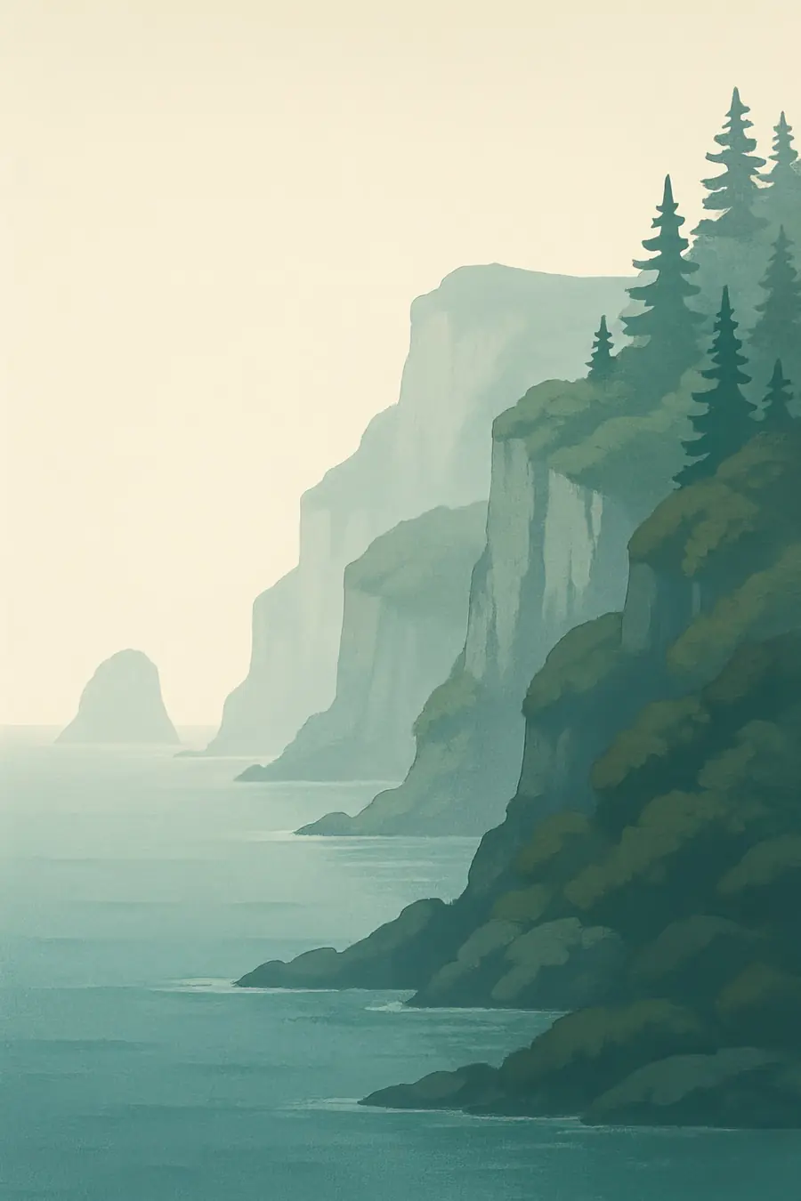
Twice a day the sea pours into the narrowing bay and drains out again, and in the Minas Basin the difference between high and low tide can reach about 16 metres. At low tide, wide red mudflats and sea floor lie bare for kilometres. The cliffs along the shore are layers of red and grey sandstone, shale and coal, capped in places by dark basalt from lava flows that came with the breakup of the supercontinent Pangaea. The tides wear the cliffs back quickly, carving sea stacks such as the Hopewell Rocks and exposing fresh rock every year. The climate is cool and foggy, with harsh winters. You hear the roar of the tide rushing in and the cries of gulls.
History
The rocks hold a record running back hundreds of millions of years. At Joggins, cliffs expose a coal-age forest of about 300 million years ago, with upright fossil trees and some of the earliest known reptiles. Mi'kmaq people have lived around the bay for thousands of years, and their stories tell of Kluskap, a great figure who shaped the land and the tides. French settlers arrived in the 1600s and the Acadians built dykes and sluices to turn salt marsh into farmland. From 1755 British authorities expelled the Acadians and gave their land to New England settlers. Later, the bay's shores were known for shipbuilding, coal mining and quarrying.
Why it matters for the living world
The great tides stir nutrients from the bottom and make the bay one of the most productive waters on the Atlantic coast. Each summer hundreds of thousands of semipalmated sandpipers stop on the mudflats to feed on tiny mud shrimp before flying non-stop to South America. Endangered North Atlantic right whales, along with humpback, fin and minke whales, feed in the bay. Salt marshes store carbon and shelter young fish. The fossil cliffs are of global value for understanding early life on land, ancient forests and the evolution of reptiles. Fundy National Park and the Fundy Biosphere Reserve protect Acadian forest, rivers and Atlantic salmon habitat.
People of the place
The bay lies within Mi'kma'ki, the homeland of the Mi'kmaq, and on the New Brunswick side within the lands of the Wolastoqiyik (Maliseet) and Passamaquoddy. Mi'kmaw communities such as Glooscap First Nation near the Minas Basin keep stories of Kluskap and the tides, and take part in geopark and heritage projects. Acadian descendants still live in the region, and the dykelands of Grand-Pré are a World Heritage Site of their own. Coastal towns depend on fishing, farming, fossil and geology tourism and small industries. Fossil collecting at Joggins is regulated by the province, and local guides take visitors along the beach at low tide.
What it faces
Rising seas and stronger storms threaten the old dykes that protect farmland, towns and the narrow Isthmus of Chignecto, which carries road and rail links between Nova Scotia and the rest of Canada. Tidal energy projects in the Minas Passage raise concern about effects on fish and marine mammals. North Atlantic right whales risk ship strikes and entanglement in fishing gear. Shoreline development, coastal erosion and visitor pressure affect cliffs and fossil sites. Shorebird numbers have declined. Governments, First Nations, the geopark and researchers are monitoring tidal turbines, upgrading dykes, managing ship lanes and protecting key mudflats for birds.
Sources
- Joggins (Wikipedia)
- Joggins Fossil Cliffs UNESCO World Heritage Site (Nova Scotia Tourism)
- Joggins Fossil Cliffs (EBSCO Research Starters)
- Fundy Coast: World Heritage (Library and Archives Canada)
Written for Regenerative Voices from the sources above. Spotted something wrong? Tell us.