
The place
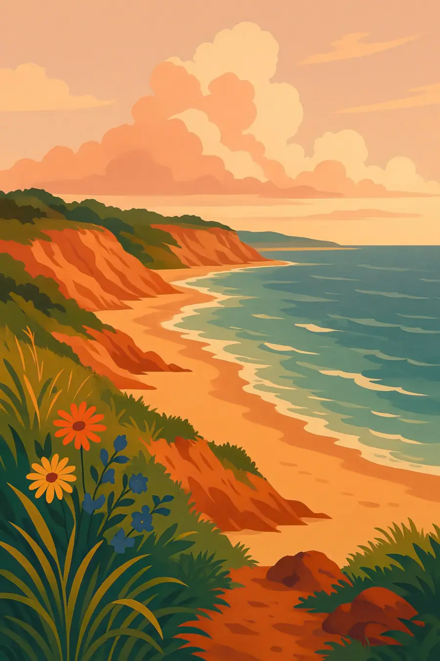
The Cape is made almost entirely of sand, gravel and boulders left by the last ice sheet as it melted back. Ridges of glacial debris, flat outwash plains and kettle ponds, formed where blocks of ice melted in place, shape the land. On the outer shore, tall sand cliffs face the open Atlantic, and waves carry the sand north and south to build spits, dunes and the curled tip at Provincetown. Behind the beaches are salt marshes, pitch pine and oak woods, cranberry bogs and heathland. The weather is maritime, mild in winter and cooled by fog and sea breezes in summer. You hear surf, terns, foghorns and wind in the beach grass.
History
People have lived on the Cape for at least ten thousand years. The Wampanoag and related peoples such as the Nauset fished, gathered shellfish and grew corn, beans and squash here. In 1620 the Mayflower passengers anchored off Provincetown before sailing on to Plymouth, and while exploring they took stored corn from a Wampanoag site. European diseases had already killed many Wampanoag in an epidemic a few years earlier. Over the following centuries settlers cleared the forests for farms and pasture, and the Cape became a place of whaling, fishing and saltworks. Henry David Thoreau walked its outer beach in the 1850s. President John F. Kennedy signed the law creating the National Seashore in 1961.
Why it matters for the living world
Cape Cod's salt marshes and estuaries are nurseries for fish, shellfish and birds, and they store carbon in their peat. The beaches host nesting piping plovers, a threatened shorebird, along with terns and other species protected during the breeding season. Gray seals have returned in large numbers after decades of protection, and white sharks now follow them close to shore in summer. Offshore, the waters around the Cape and nearby Stellwagen Bank are feeding grounds for humpback whales and the endangered North Atlantic right whale. Kettle ponds and the sole-source aquifer beneath the Cape hold the drinking water for its residents.
People of the place
The Mashpee Wampanoag Tribe, federally recognised in 2007, has its home in Mashpee on the Upper Cape, and the Wampanoag Tribe of Gay Head (Aquinnah) lives on nearby Martha's Vineyard. The Wampanoag have pressed for decades for recognition and land rights, including a long legal fight over the Mashpee reservation. Their language, Wôpanâak, is being revived after more than a century without native speakers. Year-round towns depend on fishing, shellfishing, tourism and services, while seasonal homes swell the population each summer. Fishing families in Chatham and Provincetown still work the waters, and the National Seashore keeps old dune shacks, lighthouses and life-saving stations as reminders of earlier coastal life.
What it faces
The outer cliffs lose on average around a metre of sand a year to the sea, and storms can take much more at once, threatening lighthouses, roads and homes. Sea-level rise and stronger storms speed this up. Nitrogen from septic systems has polluted many bays and ponds, causing algae blooms and loss of eelgrass, and towns are investing in sewers and new wastewater methods. Housing development and high property prices put pressure on open land and on year-round residents. Warming waters are changing fisheries. The National Seashore, towns and land trusts manage beaches for nesting birds, buy land for protection and plan for retreat where the coast cannot be held.
Sources
- The Carns Site - Cape Cod National Seashore (NPS)
- Wampanoag Lifeways - Cape Cod National Seashore news release (NPS)
- Geologic History of Cape Cod: The Ultimate Fate (USGS)
- Cape Cod Erosion (WBUR)
Written for Regenerative Voices from the sources above. Spotted something wrong? Tell us.