
The place
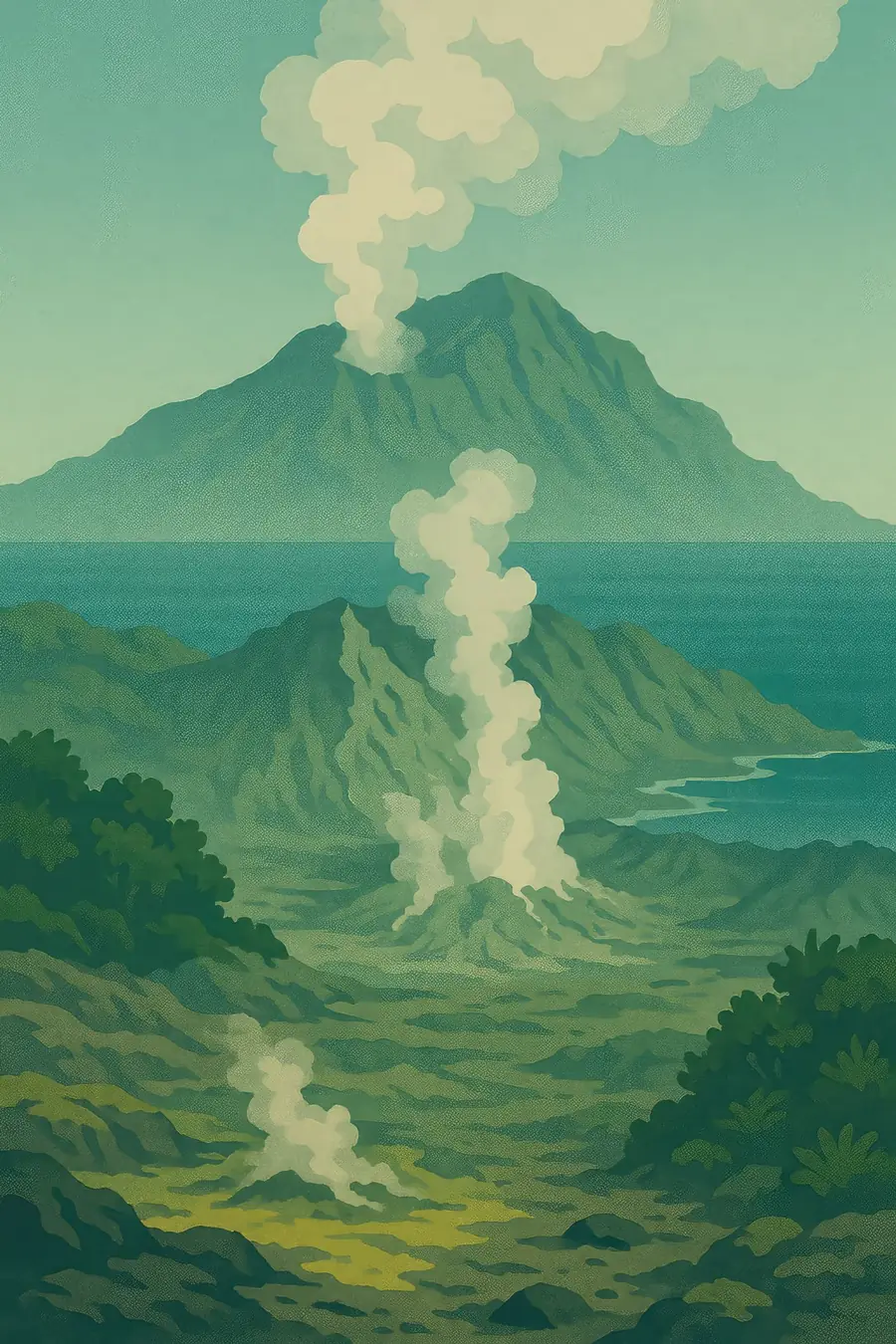
Whakaari is New Zealand's most active cone volcano. Most of the volcano is under water; the island is the top of it, a horseshoe-shaped crater open to the sea on one side. Inside the crater floor there are steaming vents, boiling mud, yellow sulphur deposits and an acidic crater lake that comes and goes. Plumes of steam and gas are often visible from the mainland. The rim is bare and grey, but the outer slopes have some vegetation. The air smells strongly of sulphur, and the ground hisses. Around the island, the sea is deep and clear, with reefs and fish.
History
For Ngāti Awa and other iwi of the Bay of Plenty, Whakaari is part of a living volcanic landscape that holds ancestral stories, and its fire is linked to that of other volcanoes in the region. Māori harvested seabirds from the island. In the 19th and early 20th centuries, Europeans mined sulphur there. In 1914, a collapse of the crater wall caused a lahar that destroyed the mining camp and killed all ten workers. The island has been privately owned since the 1930s, and tourist visits by boat and helicopter grew from the late 20th century, with thousands of people visiting each year.
Why it matters for the living world
Despite the harsh conditions, the outer island supports seabird colonies, including Australasian gannets, grey-faced petrels and other species that nest on its slopes. Pōhutukawa trees and other hardy plants grow where ash and gas allow. The surrounding sea holds reefs, fish and marine life adapted to warm volcanic seeps, and the area is studied for how life copes with acidic and mineral-rich waters. The volcano itself is closely monitored by GNS Science, and its behaviour helps scientists understand hydrothermal eruptions, which can happen with little warning.
People of the place
Ngāti Awa, the iwi of the Whakatāne area, hold mana whenua, and their relationship with Whakaari is one of respect for its power. On 9 December 2019, at 2:11 in the afternoon, the volcano erupted while 47 tourists and guides were on the island. Twenty-two people died, and most survivors were severely burned. Boat crews, helicopter pilots and local people risked their lives in the rescue. Ngāti Awa supported families, responders and the community, and each year they lead karakia at the memorial service in Whakatāne. The disaster left a deep mark on the town, on the families of those who died, many of them visitors from abroad, and on survivors.
What it faces
The main hazard is the volcano itself: hydrothermal eruptions, gas and lahars can happen suddenly. After the 2019 eruption, WorkSafe New Zealand brought charges under health and safety law, and the case raised hard questions about how risk was managed and communicated when tourists visited an active volcano. Tours to the island have not resumed. For the island's ecology, eruptions and ash fall periodically damage vegetation and seabird colonies, which then slowly recover. Monitoring by GNS Science continues, and the memory of 2019 now shapes how New Zealand approaches tourism in volcanic and other high-risk natural places.
Sources
- Whakaari/White Island eruption kills 22 – NZHistory, Ministry for Culture and Heritage
- Whakaari/White Island eruption victims remembered with karakia from Ngāti Awa – RNZ
- Ngāti Awa leader remembers Whakaari/White Island eruption – 1News
- Te Rūnanga o Ngāti Awa remembers Whakaari victims on second anniversary
Written for Regenerative Voices from the sources above. Spotted something wrong? Tell us.