
The place
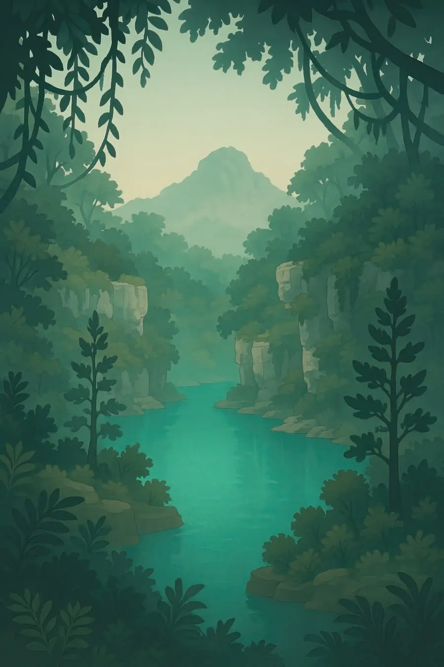
The Yucatán is a low, flat shelf of limestone, once a sea floor, with almost no rivers on its surface. Rain sinks straight through the porous rock and flows underground through caves toward the sea. Where cave roofs collapse, cenotes open up: some are open pools with sheer walls, others are dark caverns entered through a small hole, and some are shallow ponds among the trees. The water is often clear and blue, with a layer of salt water lying beneath the fresh. Long tree roots and stalactites hang into many of them. Around them grows dry tropical forest. The climate is hot and humid, with a rainy summer. You hear dripping water, swallows and motmots calling.
History
About 66 million years ago an asteroid struck the sea at the northwest edge of the peninsula, forming the Chicxulub crater, and a ring of cenotes now traces its buried rim. The Maya have lived here for thousands of years and built their cities around cenotes, which they call dzonot, as the only sources of water. Cenotes were also seen as entrances to the underworld, Xibalba, and at Chichén Itzá the Sacred Cenote received offerings, including human sacrifices. Spanish conquest in the 1500s brought disease, forced labour and colonial rule. In the 1800s Maya rebels fought the long Caste War. Since the 1970s tourism, especially along the Caribbean coast, has grown very quickly.
Why it matters for the living world
The underground rivers and cenotes form one of the largest aquifers in the region and the only freshwater source for about five million people on the peninsula. The flooded caves hold blind fish, shrimp and other animals found nowhere else, and some cave systems run for hundreds of kilometres. Fossils of animals and early humans from the last ice age have been found preserved in them. The groundwater flows out through springs into mangroves, lagoons and the Mesoamerican Reef offshore, feeding these coastal systems. The surrounding forests are home to jaguars, spider monkeys and many birds, and the forest cover helps keep the aquifer recharged.
People of the place
Yucatec Maya communities live across the peninsula and many still speak Maya. For them cenotes are sacred places tied to rain, ancestors and the god Chaac, and some communities hold ceremonies at them. Many villages earn income by running cenotes as community tourism sites. In Homún, Maya residents organised to stop a large pig farm near their cenotes, winning court rulings to suspend it and protect their water. The fast-growing cities of Mérida, Cancún, Playa del Carmen and Tulum rely completely on the aquifer for water. Divers and scientists have spent decades mapping the cave systems, often in partnership with local communities.
What it faces
Wastewater from cities, hotels and villages often leaks straight into the porous rock, and many cenotes show contamination from sewage. Large pig and poultry farms and pesticides from agriculture add more pollution. The Tren Maya railway, opened in 2023, drove thousands of steel and concrete piles into caves along one section, which critics say damaged cenotes and may contaminate the aquifer. Rapid tourism growth, deforestation and urban sprawl increase demand for water and reduce recharge. Rising seas push salt water into the aquifer. Maya communities, scientists, cave divers and local organisations are monitoring water quality, mapping caves and pushing for stronger legal protection.
Sources
- Can the cenotes be saved? Biocultural conservation in Yucatán, Mexico (Terralingua)
- In the Aftermath of Tren Maya (Sierra)
- Environmental crisis in Yucatán's cenotes: the Maya aquifer in peril (Riviera Maya News)
Written for Regenerative Voices from the sources above. Spotted something wrong? Tell us.