
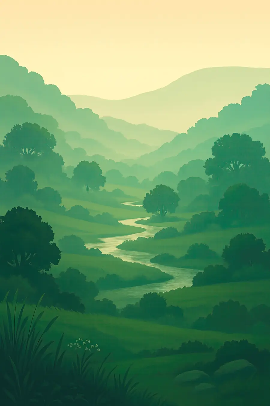
The place
Most of Zambia is a high plateau of miombo woodland, broken by the deep trench of the Luangwa Valley in the east and the valley of the Zambezi in the south. The Luangwa River winds across its floodplain in great loops, leaving oxbow lagoons, sandbanks and stands of ebony and mopane. In the west the Kafue River runs through woodland and the wide Busanga Plains. The Lower Zambezi flows between hills and islands across from Zimbabwe. Rains fall from November to April and turn the country green; by October the woodland is bare and the rivers low. Hippos grunt in the pools, and baboons, impala and fish eagles call along the banks.
History
The Luangwa and Zambezi valleys are rift valleys, part of the long system of faults that runs through eastern Africa. People have lived in what is now Zambia for hundreds of thousands of years; Kabwe produced one of Africa's best-known early human fossils. Bantu-speaking farmers and ironworkers spread across the plateau, and powerful states such as the Lozi kingdom of Barotseland and the Bemba chiefdoms arose. In the 1890s the British South Africa Company took control, and the territory became Northern Rhodesia. Colonial game reserves were set aside, often moving residents away. Zambia became independent in 1964. South Luangwa became a national park in 1972.
Why it matters for the living world
Zambia's parks hold large populations of elephant, buffalo, hippo, lion, leopard and wild dog. The Luangwa Valley has some of the densest hippo and leopard populations in Africa and its own subspecies, Thornicroft's giraffe. Kafue, at about 22,400 square kilometres, is one of the largest national parks in Africa and, according to African Parks, has the highest diversity of antelope species on the continent and 515 bird species. The Liuwa Plain in the west hosts a wildebeest migration, and the Bangweulu wetlands hold the shoebill. The miombo woodlands store large amounts of carbon, and Zambia's rivers feed the Zambezi system and its hydropower.
People of the place
More than seventy ethnic groups live in Zambia. In the Luangwa Valley the Kunda, Bisa and Nsenga live beside the parks; around Kafue live the Ila, Kaonde and Tonga; in the west the Lozi follow the yearly flood of the Barotse Plain in the Kuomboka ceremony. Game management areas around the parks are shared between people and wildlife and are governed with chiefs and community resource boards, which receive part of the income from tourism and hunting. Farming, fishing, honey and work in safari camps support many families. Conservation groups also run programmes on schools, farming that keeps out elephants, and women's livelihoods.
What it faces
Clearing of forest for farmland and charcoal is one of the biggest threats, and Zambia has one of the highest rates of forest loss in Africa. Poaching for ivory and bushmeat has hit elephant and antelope numbers in some parks. Settlement and farming are expanding in game management areas. Plans for a large open-pit copper mine inside Lower Zambezi National Park have been approved and challenged repeatedly over the past decade. The drought of 2024 dried up crops, cut hydropower from Kariba and caused power shortages. Responses include African Parks taking over management of Kafue in 2022 and of Liuwa Plain and Bangweulu earlier, community scouts and forest restoration programmes.
Sources
- Kafue National Park (African Parks)
- Wildlife of Zambia (Wikipedia)
- Save Lower Zambezi petitions (Lusaka Times, 2019)
Written for Regenerative Voices from the sources above. Spotted something wrong? Tell us.