
The place
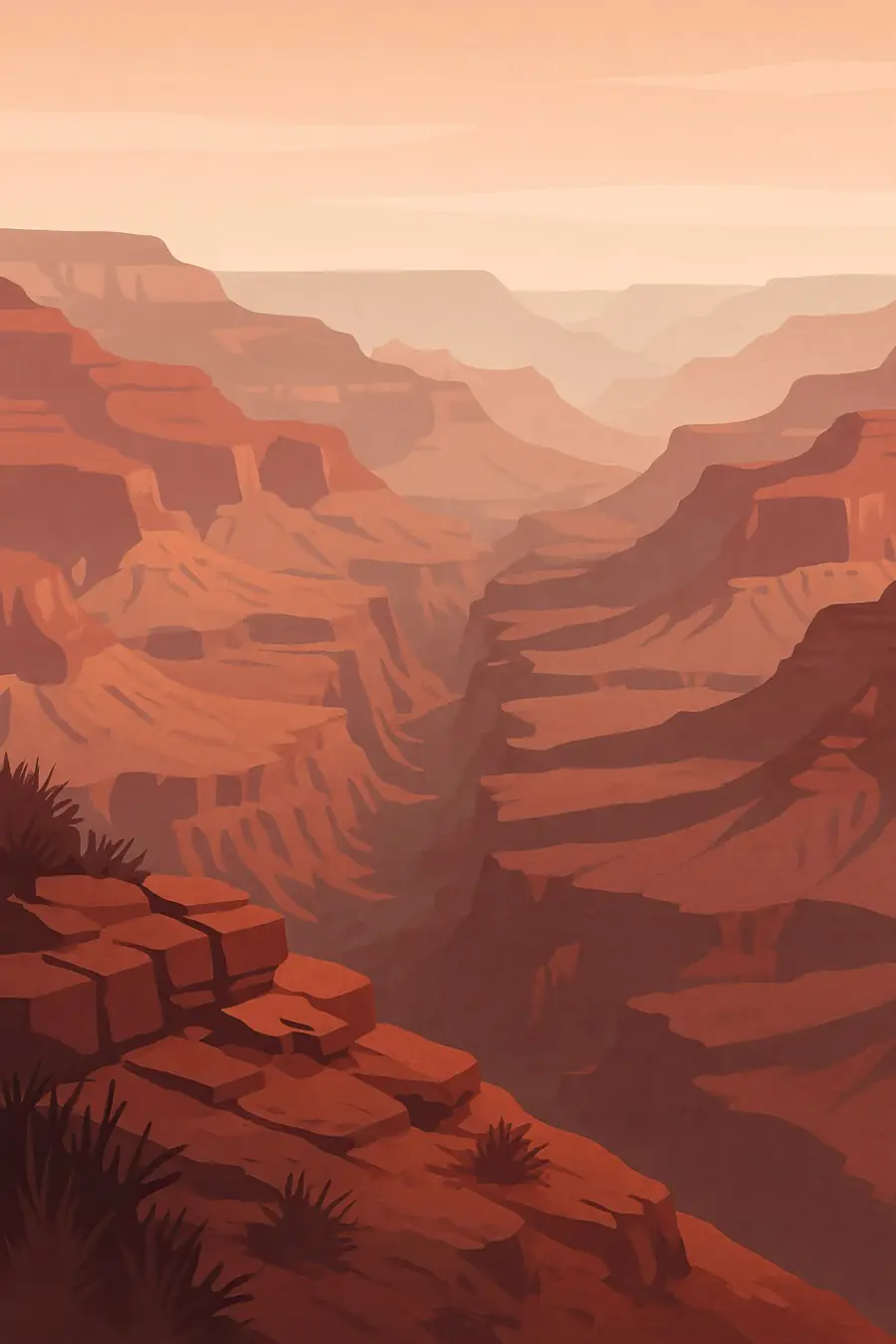
Over millions of years the Colorado River has cut down through the rising Colorado Plateau to carve a canyon more than 400 kilometres long and up to about 1.8 kilometres deep. Its walls show a stack of rock layers in red, buff and grey, from the dark schist at the bottom, close to two billion years old, to the pale limestone of the rims. Side canyons, buttes and cliffs step down to the river. The rims are cool and forested with ponderosa pine, while the inner canyon is a hot desert. Summer storms bring flash floods and lightning. You hear the river's rapids, wind over the rim, ravens and canyon wrens calling down the cliffs.
History
People have lived in and around the canyon for at least 12,000 years. Ancestral Puebloan peoples farmed on the rims and along side streams, and many tribes still hold the canyon as a place of origin and ceremony. Spanish soldiers reached the rim in 1540. John Wesley Powell led river expeditions in 1869 and 1871-72. Ranching, mining claims and railway tourism followed, and the park was created in 1919. Its creation pushed the Havasupai onto a small reservation, and in 1975 Congress returned 185,000 acres to them. In 1963 Glen Canyon Dam was completed upstream, changing the river's flow, temperature and sediment. Uranium mining took place in the region during the twentieth century.
Why it matters for the living world
The canyon spans from desert to subalpine forest and holds a wide variety of plants and animals across its many elevations. Endangered California condors, reintroduced in the region from 1996, fly over the canyon. The Colorado River supports native fish such as the humpback chub, which has struggled since the dam made the water colder and clearer. Springs and seeps in the walls support rare plants and snails. The rock layers form one of the most complete records of Earth's history visible anywhere. The river and its watershed are part of the Colorado River system, which supplies water to tens of millions of people in the southwestern United States and Mexico.
People of the place
Eleven tribes are traditionally connected to the Grand Canyon, including the Havasupai, Hualapai, Hopi, Navajo, Zuni, several bands of the Southern Paiute and the Yavapai-Apache. The Havasupai, the "people of the blue-green water", live in Supai village deep in a side canyon, while the Hualapai reservation borders much of the canyon's south side. For many of these peoples the canyon is a place of origin, ceremony and pilgrimage, and some sites are closed to the public. In 2023 a coalition of tribes won the creation of the Baaj Nwaavjo I'tah Kukveni National Monument, almost one million acres around the park, after more than a decade of campaigning to stop new uranium mining.
What it faces
Uranium mining near the canyon remains a major concern, especially for the Havasupai, whose only water source is Havasu Creek. A mine on existing claims near the South Rim has resumed operations despite the new monument. Long drought and over-use have dropped water levels in the Colorado River system, and the dam's releases shape the health of the river ecosystem. Groundwater pumping near the South Rim may affect springs inside the canyon. Millions of visitors each year, aircraft noise and wildfire also put pressure on the park. In 2025 a wildfire destroyed the historic Grand Canyon Lodge on the North Rim. Tribes, the park and scientists are working on water monitoring, experimental dam flows and co-management.
Sources
- New national monument comes after more than a decade of advocacy by Native nations (NPR via KUNC)
- Biden's newest national monument blocks uranium mining near the Grand Canyon (Yahoo News)
- Southwest tribes push for new national monument near Grand Canyon (Yahoo News)
Written for Regenerative Voices from the sources above. Spotted something wrong? Tell us.