
The place
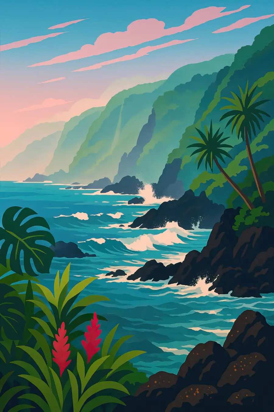
The peninsula is a low tongue of lava that flowed down from Haleakalā through the Koʻolau Gap and spread into the sea. Behind it, steep green ridges and deep valleys rise into clouds, and streams run down from rainforest above. On the peninsula itself, terraced wet taro patches, called loʻi, fill much of the flat ground, fed by water channelled from the streams. Black lava rock forms the shoreline, where heavy surf crashes and swimming is dangerous. Rain falls often and the air is warm and humid. A small stone church stands near the shore among palms and breadfruit trees. You hear waves on the rocks, water running through the loʻi and the wind in the trees.
History
Native Hawaiians have farmed taro at Keʻanae for many generations. Local tradition holds that people carried soil down from the valleys to cover the bare lava and build the first loʻi. Keʻanae was part of the Koʻolau district of East Maui, with land divided into ahupuaʻa that ran from mountain to sea. In 1856 residents built a church of lava rock. From the late 1800s, sugar companies built long irrigation ditches across the East Maui slopes to carry stream water to plantations in central Maui. In 1946 a tsunami struck the peninsula, taking lives and destroying most buildings. The stone church was one of the few structures left standing.
Why it matters for the living world
The streams that flow past Keʻanae link the rainforests of Haleakalā with the sea. Native fish and snails such as ʻoʻopu gobies and hīhīwai migrate between the ocean and upland waters, and they need streams that flow all the way to the coast. The loʻi themselves are wetland habitats that hold water, trap sediment and support native waterbirds. The forests above capture rain and fog and recharge the island's groundwater. Nearshore waters along the rocky coast support limu, or seaweed, and reef fish that families gather. Taro farming, as practised here, is an old example of growing food in a way that works with the flow of water.
People of the place
Keʻanae is home to a small community of Native Hawaiian families, many of whom have farmed taro on the same land for generations and make poi from it. Their way of life is grounded in caring for the land and water, and in sharing food and work. Residents gather from the shore and streams and keep fishing traditions. In the late twentieth and early twenty-first centuries, East Maui taro farmers and community groups fought a long legal battle for the return of stream water that had been diverted to sugar plantations. The community today also meets a steady stream of visitors on the road to Hāna, selling food at small roadside stands.
What it faces
For more than a century, irrigation ditches took much of the water from East Maui streams, leaving some dry and making taro farming harder. After sugar production on Maui ended in 2016, the state water commission ordered water returned to many streams, though disputes over how much continue. Climate change brings risks of drought, heavier storms and sea-level rise to a low-lying peninsula. Heavy tourist traffic on the narrow Hāna Highway causes congestion and trespass on private land. Invasive plants and animals threaten the native forests that feed the streams. Families, community associations and Native Hawaiian groups continue to work on water rights, land stewardship and passing on farming knowledge.
Sources
Written for Regenerative Voices from the sources above. Spotted something wrong? Tell us.