
The place
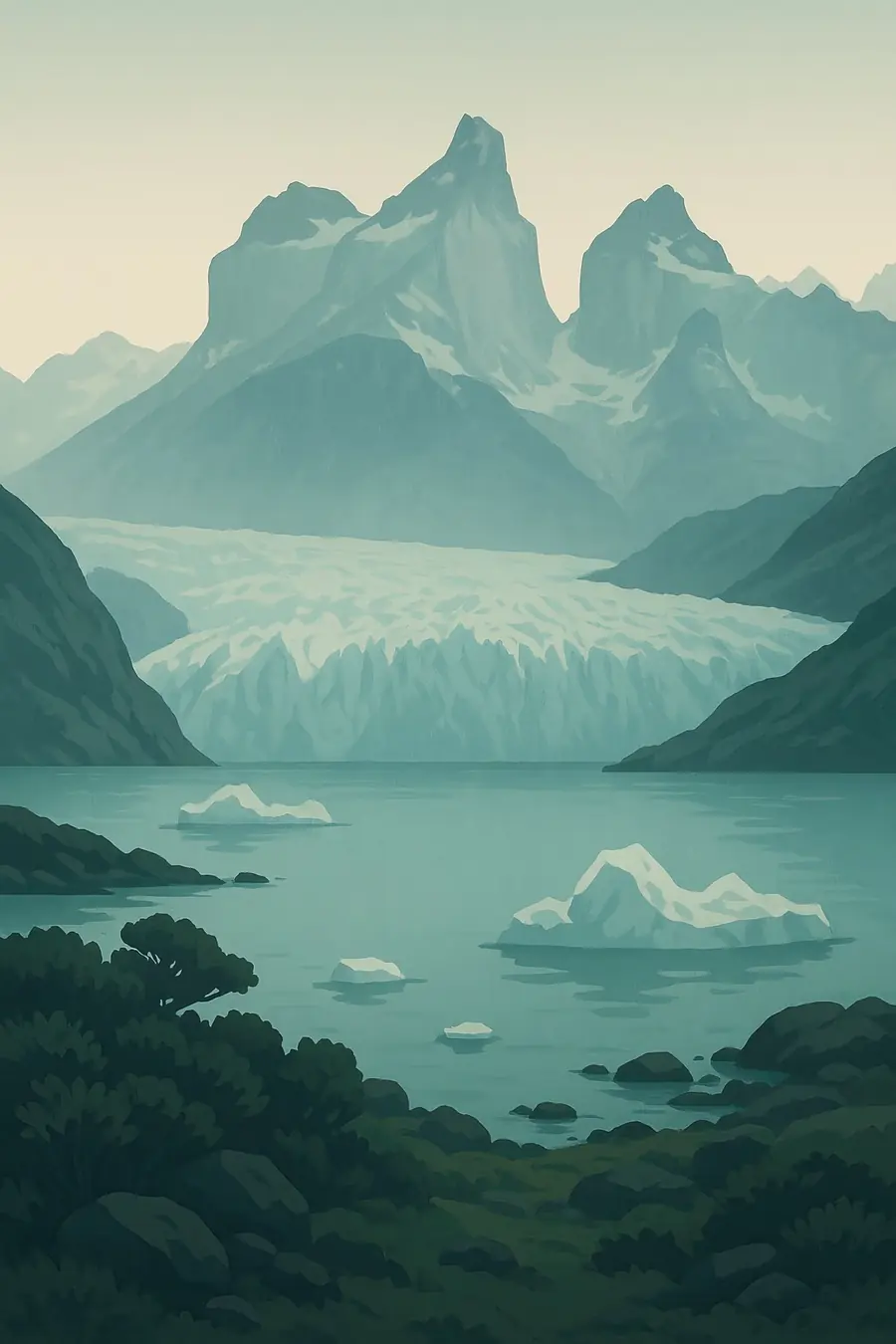
Glaciers cover roughly half the park. They flow down from the Southern Patagonian Ice Field, the largest ice mass in the southern hemisphere outside Antarctica, into two long glacial lakes: Lago Argentino, about 160 kilometres long, and Lago Viedma. The best known glacier is Perito Moreno, whose front stands up to 60 metres above the water. In the north rise the granite spires of Fitz Roy, also called Chaltén, at 3,375 metres, and Cerro Torre. The park climbs more than 3,000 metres from the steppe to the summits. Strong westerly winds blow across it, bringing heavy snow to the ice field and dry air to the steppe.
History
During the ice ages, the Patagonian ice sheet spread far east, scooping out the basins of Lago Argentino and Lago Viedma. As it shrank, the Aónikenk (southern Tehuelche) hunted guanaco and rhea on the steppe, and their name Chaltén, often translated as smoking mountain, refers to the clouds that cling to Fitz Roy. Argentine explorer Francisco Pascasio Moreno, known as Perito Moreno, travelled the area in the 1870s. The region was settled by sheep farmers after Argentina's military campaigns against Indigenous peoples. Argentina created the national park in 1937, partly to secure its claim to the borderland with Chile. UNESCO listed the park as a World Heritage Site in 1981.
Why it matters for the living world
The park spans ice, high mountains, southern beech forests of lenga and ñire, and Patagonian steppe. This range supports the endangered huemul deer, which Argentina and Chile work together to protect, as well as pumas, guanacos, Andean condors, Magellanic woodpeckers and torrent ducks. The glaciers are a major freshwater store, feeding the Santa Cruz River, the last large free-flowing river in Argentine Patagonia. UNESCO counts 47 large glaciers and about 200 smaller ones. Because they respond to changes in snowfall and temperature, the park's glaciers are studied as indicators of climate change, and most of them have been shrinking.
People of the place
The Aónikenk people lived on the steppe and around the lakes long before the park existed; Tehuelche communities in Santa Cruz today seek recognition of their history and sacred sites. Today the towns of El Calafate and El Chaltén depend almost entirely on tourism linked to the park. El Chaltén was founded in 1985 and has become a centre for trekking and climbing. Estancias around the park, once sheep farms, now often host visitors. A local advisory council, set up in 2002, brings residents into park planning. Argentina's National Parks Administration manages the park, removing livestock from former grazing land and running visitor facilities.
What it faces
Most of the park's glaciers are retreating as the climate warms. UNESCO's assessment also points to past overgrazing, feral cattle in remote valleys, invasive species such as European hare and trout, forest fires, and tourism pressure, especially at Perito Moreno. Two large hydroelectric dams under construction on the Santa Cruz River, downstream of Lago Argentino, raised concerns about effects on the lake and glaciers; after legal challenges, Argentina's supreme court ordered further environmental studies in 2016. Visitor numbers keep growing in El Calafate and El Chaltén, putting pressure on water, waste and trails. Park managers are converting grazing land, preventing fire and protecting huemul across the border with Chile.
Sources
- Los Glaciares National Park (UNESCO World Heritage Centre)
- Los Glaciares National Park (El Chaltén)
- The state and fate of Glaciar Perito Moreno, Patagonia (EurekAlert, 2025)
Written for Regenerative Voices from the sources above. Spotted something wrong? Tell us.