
The place
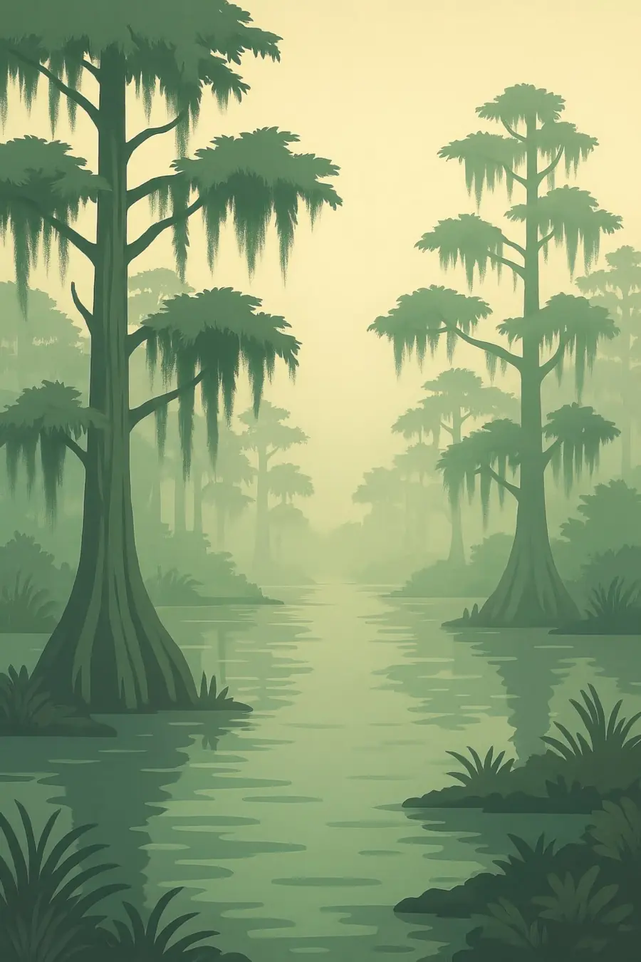
Over the last seven thousand years the Mississippi has built a series of deltas, shifting its course every thousand years or so and spreading sediment from half a continent. The result is a vast low plain of fresh, brackish and salt marsh, cypress swamp, bayous and shallow bays, fringed by sandy barrier islands. Today the main channel runs out into the Gulf in a long "bird's foot" between levees. Most of the land is only a metre or two above the sea, and much of it is sinking. The climate is hot and humid, with heavy rain and frequent hurricanes. You hear wind in the cordgrass, gulls, the throb of ship engines and the wash of tides.
History
People have lived in the delta for thousands of years, building mounds and living from fish, shellfish and wild plants. The Chitimacha, Houma and other peoples were living here when the French founded New Orleans in 1718. Enslaved Africans were forced to clear and work sugar plantations along the river. Acadian exiles settled on the bayous, and later immigrants from many places came to fish, trap and work. After the great flood of 1927, the United States built levees along the whole lower river, ending the floods that had built the land. From the 1930s onward, oil and gas companies dredged thousands of kilometres of canals through the marshes.
Why it matters for the living world
The delta is one of the largest coastal wetlands in North America. Its marshes are nurseries for shrimp, crabs, oysters and fish that support one of the most productive fisheries in the United States. Millions of ducks, geese and songbirds rest and feed here on the Mississippi flyway, and brown pelicans nest on its islands. The marshes and swamps store large amounts of carbon in their soils and slow storm surges before they reach towns and cities. The river carries nutrients from farmland across the Midwest, which fuels a large low-oxygen dead zone in the Gulf each summer. Healthy marshes can absorb some of these nutrients before they reach the sea.
People of the place
Indigenous communities, including the United Houma Nation, the Grand Caillou/Dulac Band, the Pointe-au-Chien Indian Tribe, the Isle de Jean Charles Band of Biloxi-Chitimacha-Choctaw and the Chitimacha, live along the bayous. Many fish, shrimp and trap, and have pressed for federal recognition for decades. Cajun, Creole, Vietnamese, Croatian and other fishing communities share the coast. In 2016 the federal government funded the resettlement of residents of Isle de Jean Charles, whose island had lost almost all its land, one of the first such climate resettlements in the United States. Ports, shipping, oil and gas and petrochemical plants along the river employ many people but also pollute nearby communities.
What it faces
Since the 1930s coastal Louisiana has lost more than 2,000 square miles of land, roughly the area of Delaware. Levees starve the marshes of sediment, canals let salt water in, the land is sinking, and seas are rising. Hurricanes such as Katrina, Rita and Ida have stripped away more marsh and devastated towns. Oil spills, including the Deepwater Horizon disaster in 2010, have harmed wetlands and fisheries. Louisiana's Coastal Master Plan funds marsh rebuilding, barrier island repair and river diversions to reconnect the Mississippi to its wetlands, though the largest planned diversion was halted by the state in 2025. Many communities are now weighing whether to stay, adapt or move.
Sources
- Land Loss in the Mississippi River Delta (Science for Our Coast)
- Our Coastal Crisis (Restore the Mississippi River Delta)
- In Louisiana, rising seas threaten Native Americans' land (PBS NewsHour)
- Louisiana tribes fighting to protect what's left of their communities (Associated Press via Washington Times)
Written for Regenerative Voices from the sources above. Spotted something wrong? Tell us.