
The place
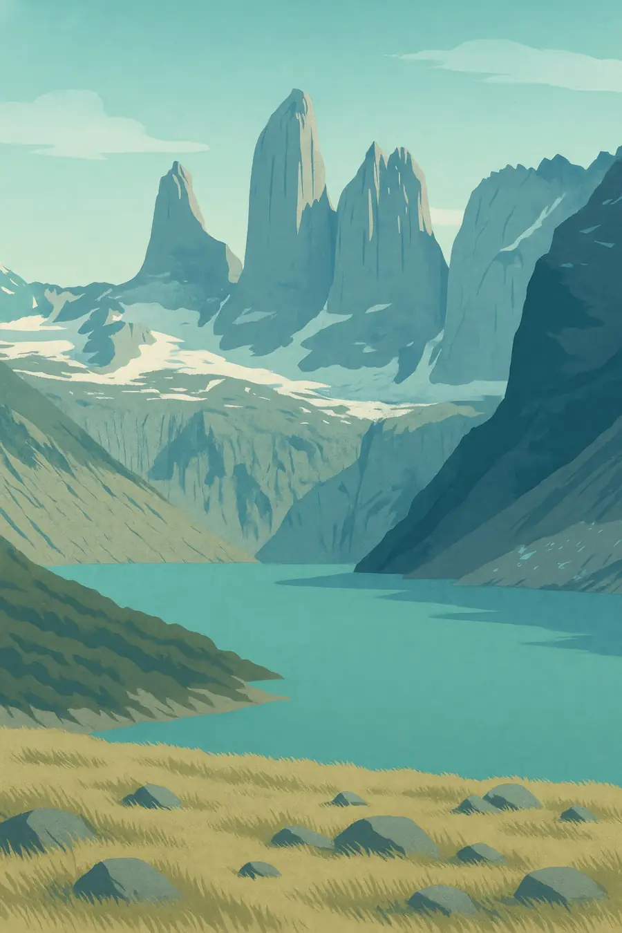
Patagonia has two faces. On the Chilean side, the Andes meet the Pacific in fjords, islands, temperate rainforest and the great Patagonian ice fields, under heavy rain and snow. East of the mountains, in Argentina, lies the Patagonian steppe, a cold semi-desert of shrubs and bunch grasses, with plateaus, canyons and long rivers running to the Atlantic. The Andes block the western winds, so rainfall falls from about 4,000 millimetres in the foothills to about 150 millimetres on the central plateau less than 200 kilometres east. Strong westerly winds blow most of the year. You hear wind, the calls of upland geese and the bleating of sheep.
History
Patagonia's mountains and ice fields record a long history of tectonic uplift and ice-age glaciation. People reached the region at least 12,000 years ago, and the hand stencils of the Cueva de las Manos in Santa Cruz are about 9,000 years old. The Aónikenk and other Tehuelche peoples hunted guanaco and rhea on the steppe; the Mapuche lived in the northern Andes and spread east; the Kawésqar, Yaghan and Chono travelled the western channels by canoe. In the 1870s and 1880s, Argentina's Conquest of the Desert and Chile's occupation of Araucanía seized Indigenous land by force. Sheep estancias, some vast and foreign-owned, took over the steppe, and Welsh settlers founded towns in Chubut.
Why it matters for the living world
Patagonia's ecosystems range from glaciers to temperate rainforest and steppe. The guanaco, the only native hoofed animal of the steppe, once numbered perhaps tens of millions and is now far fewer. Pumas, lesser rheas, Patagonian maras, huemul deer and Andean condors live across the region, and the Atlantic and Pacific coasts host whales, sea lions and penguins. The southern beech forests and peat bogs hold large carbon stores, and the ice fields are major freshwater reserves. More than 90 percent of Patagonian soils show some degradation, mostly from overgrazing, and severe desertification affects roughly a fifth to a third of the region.
People of the place
Mapuche and Tehuelche communities live across northern and central Patagonia, and many are reclaiming ancestral land, language and ceremony. Some Mapuche land claims, such as those against large foreign landowners in Chubut and Río Negro, have led to long legal disputes and violent evictions. Kawésqar and Yaghan descendants live in southern Chile. Rural Patagonians include small sheep and goat herders, many of them Indigenous or criollo. The region also has oil and mining towns, fishing ports, and a growing number of tourism communities. Private conservation projects, such as those that created Patagonia National Park in Chile, have turned former estancias back into wildland.
What it faces
Overgrazing by sheep over more than a century has stripped vegetation and led to soil erosion and desertification on the steppe. Warming and drying, along with more frequent fires, are changing forests and grasslands; northwestern Patagonia shows signs of a new fire regime. Glaciers are shrinking. Oil and gas extraction, including fracking in Vaca Muerta, mining, salmon farming in Chile and new dam projects bring pollution and conflict. Responses include restoration and regenerative grazing programmes, the return of guanaco and rhea to former ranches, new national parks in Chile and Argentina, and Indigenous land claims that seek to return territory to Mapuche and Tehuelche communities.
Sources
- Patagonian grasslands (EBSCO Research Starters)
- Benetton in Patagonia: the oppression of the Mapuche (Council on Hemispheric Affairs)
- Los Glaciares National Park (UNESCO World Heritage Centre)
Written for Regenerative Voices from the sources above. Spotted something wrong? Tell us.