
The place
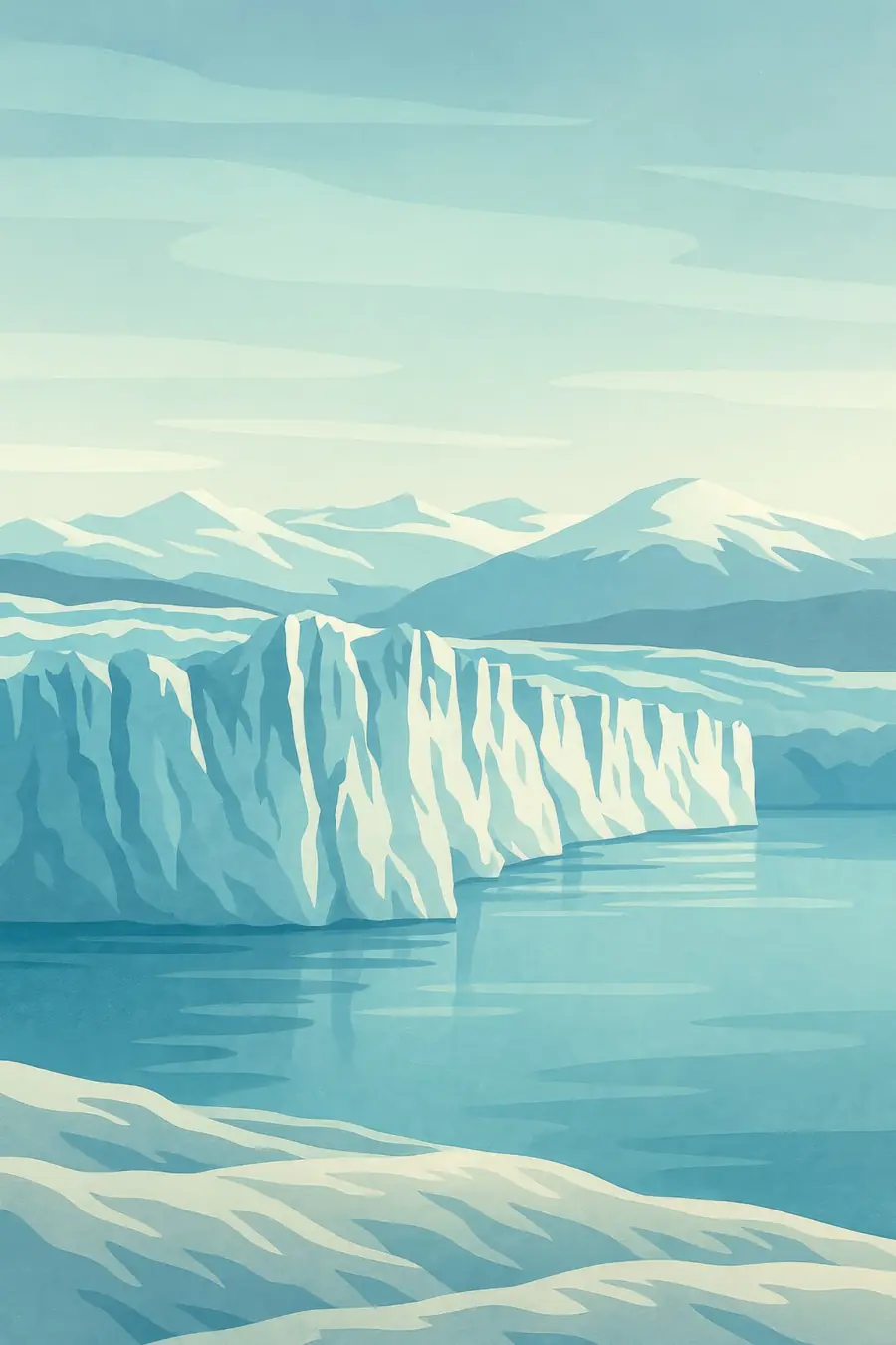
The glacier flows down from the ice field and ends in a wall of ice up to 60 metres high above the water, about five kilometres wide. Its front splits into blue, cracked towers that calve into Lago Argentino with loud cracks and splashes. The Magallanes Peninsula brings visitors within a few hundred metres of the ice, along walkways in southern beech forest. When the glacier presses against the peninsula, it dams the Brazo Rico arm of the lake. Water then builds up behind the ice until it breaks through in a rupture that draws crowds. The weather changes quickly, from sun to wind and rain.
History
The glacier is a remnant of the much larger ice sheets that covered Patagonia during the ice ages. It is named after Francisco Pascasio Moreno, known as Perito Moreno, an Argentine explorer and expert in the border dispute with Chile, who studied the region in the late nineteenth century. Before that, the Aónikenk people lived on the steppe nearby. The first recorded damming of the Brazo Rico occurred in the early twentieth century, and ruptures have happened irregularly since, including in 2004, 2016 and 2018. The glacier became part of Los Glaciares National Park when it was created in 1937, and part of a UNESCO World Heritage Site in 1981.
Why it matters for the living world
Perito Moreno is part of the Southern Patagonian Ice Field, a major freshwater reserve that feeds Lago Argentino and the Santa Cruz River. Glacial meltwater is milky with rock flour, which colours the lake turquoise and shapes life in it. The forests near the glacier hold lenga beech, Magellanic woodpeckers and Andean condors overhead. For decades scientists noted that Perito Moreno, unlike most glaciers nearby, was roughly stable. A 2025 study in Communications Earth & Environment found that its thinning rate has risen more than sixteenfold since 2019, and that it may soon lose contact with a rock ridge beneath its front, which could lead to rapid retreat.
People of the place
El Calafate, about 80 kilometres away, grew from a small settlement to a tourism town largely thanks to the glacier, which receives hundreds of thousands of visitors each year. Many local people work as guides, boat crews, hotel staff and in services. Organised ice walks on the glacier are offered by a concession. Argentina's National Parks Administration manages access, walkways and safety. The glacier also holds a strong place in Argentine national identity and is a common symbol of Patagonia. Scientists from Argentina and abroad study its ice, using radar, satellites and measurements of the lake bed beneath its front.
What it faces
Climate change is the main threat. After decades of near balance, the glacier has been thinning quickly since 2019 and in places has retreated more than 800 metres. If it loses its grip on the underwater ridge that has held it in place, it could retreat several kilometres within a short time, changing the landscape and the tourism economy that depends on it. Heavy visitor numbers bring traffic, waste and crowding at the viewing platforms, especially in summer. Dams under construction on the Santa Cruz River downstream raised concerns about lake levels, leading to court-ordered environmental studies. Scientists are calling for continued monitoring.
Sources
- The state and fate of Glaciar Perito Moreno, Patagonia (EurekAlert, 2025)
- Los Glaciares National Park (UNESCO World Heritage Centre)
- Scientists thought this Argentine glacier was stable. Now they say it's melting fast (AP via ClickOnDetroit, 2025)
Written for Regenerative Voices from the sources above. Spotted something wrong? Tell us.