
The place
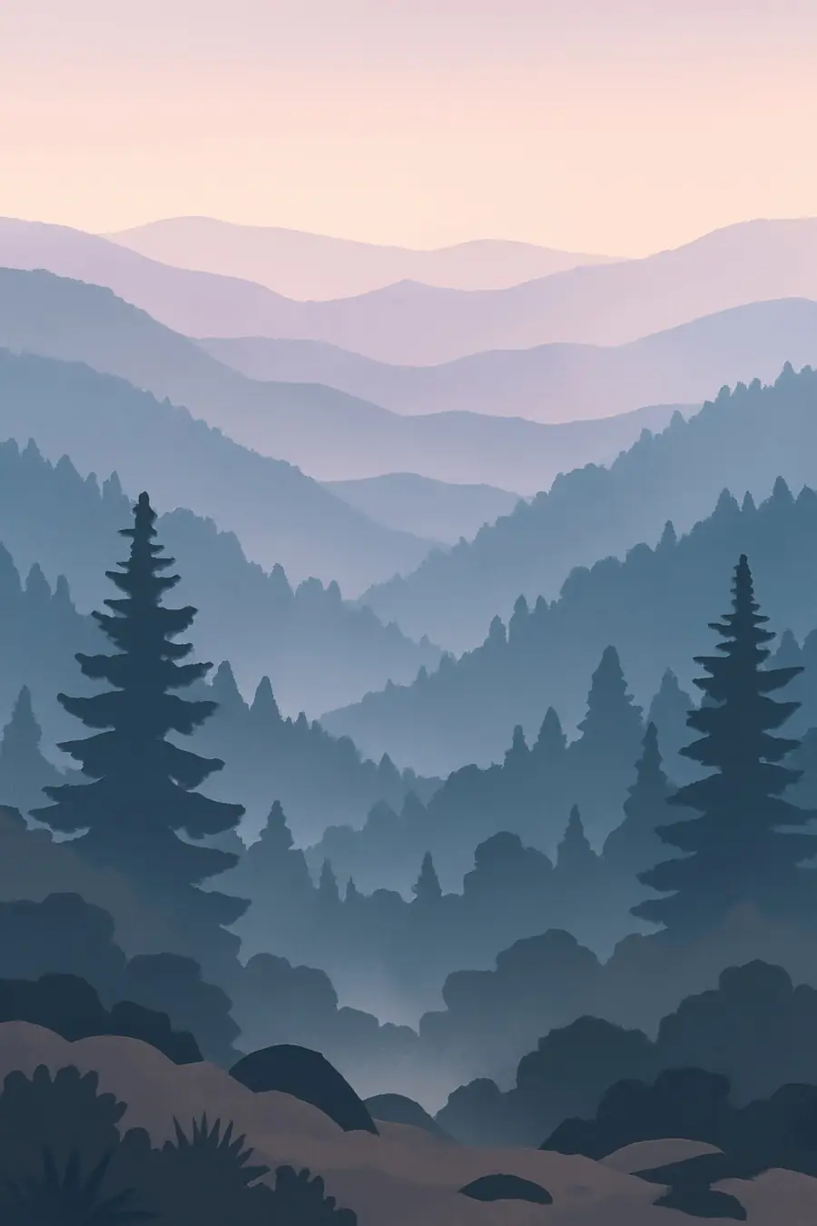
These are old mountains, worn down over hundreds of millions of years into long, rounded ridges with deep valleys. Their highest summits pass 2,000 metres and carry dark spruce and fir forest, while the lower slopes are covered in a dense mix of hardwoods, rhododendron and mountain laurel. Clear streams tumble over rocks through the coves. The blue haze that gives the range its name comes from water vapour and natural compounds released by the forest. Rain is plentiful, and the high peaks are cool, wet and often in cloud. In autumn the slopes turn red and gold. You hear streams, wood thrushes, katydids at night and, on early summer nights, the silent flashing of synchronous fireflies is a sight in itself.
History
The Cherokee have lived in these mountains for many centuries, and the town of Kituwah near the park is regarded as their mother town. Their name for the range is usually given as Shaconage, "place of blue smoke". European settlers moved in during the late 1700s and 1800s, and in 1838 the United States forced most Cherokee west on the Trail of Tears. Some hid in the mountains or held land through other means, and their descendants are the Eastern Band of Cherokee Indians. In the early 1900s logging companies cut much of the forest. The park was created in the 1930s with land bought from timber companies and from hundreds of families, many of whom had to leave their homes.
Why it matters for the living world
The Smokies are among the most diverse temperate regions on Earth. Over 19,000 species have been recorded in the park, and scientists estimate many more remain undocumented. It is known as the salamander capital of the world, with around thirty species, some found nowhere else. Black bears, elk, which were reintroduced in 2001, and many songbirds live here. Large areas of old-growth forest survived logging, and the park's forests store a great deal of carbon. Because the mountains run north to south and range widely in height, they served as a refuge during the ice ages and are a corridor for species moving north as the climate warms.
People of the place
The Eastern Band of Cherokee Indians lives on the Qualla Boundary, which borders the park on the North Carolina side, and many Cherokee keep language, crafts and stories tied to these mountains. In 2024 the highest peak, long known as Clingmans Dome, was officially renamed Kuwohi at the request of the Eastern Band. Descendants of the mountain families who left when the park was created still return to old cemeteries and churches in places like Cades Cove and Cataloochee. Gateway towns such as Gatlinburg, Pigeon Forge, Cherokee and Bryson City depend heavily on tourism. The park is the most visited national park in the United States.
What it faces
The hemlock woolly adelgid, an insect from Asia, has killed many eastern hemlocks, which shade streams and shelter wildlife, and the park treats thousands of trees to save them. Air pollution from power plants and traffic has caused haze and acid rain, though it has improved in recent decades. Crowds, traffic and development at the edges put pressure on the park. In 2016 a wildfire spread from the park into Gatlinburg, killing fourteen people. Hurricane Helene caused severe flooding and damage in the region in 2024. Warming temperatures threaten high-elevation species such as spruce-fir forest and salamanders. The park responds with pest control, research and a parking tag system to fund operations.
Sources
- Great Smoky Mountains publications and history (NPS History)
- Environmental Factors - Great Smoky Mountains (NPS, archived)
- Great Smoky Mountains National Park (WorldAtlas)
Written for Regenerative Voices from the sources above. Spotted something wrong? Tell us.